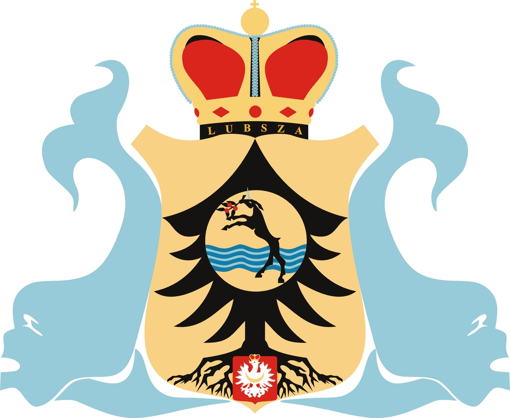
Gmina Lubsza
| Gmina Lubsza | ||
|---|---|---|

|
|
|
| Basic data | ||
| State : | Poland | |
| Voivodeship : | Opole | |
| Powiat : | Brzeg | |
| Area : | 212.71 km² | |
| Geographic location : | 50 ° 55 ' N , 17 ° 31' E | |
| Residents : | see Gmina | |
| Postal code : | 49-313 | |
| Telephone code : | (+48) 77 | |
| License plate : | IF | |
| Economy and Transport | ||
| Street : | Droga krajowa 39 | |
| Rail route : | Opole-Jelcz-Laskowice | |
| Gmina | ||
| Gminatype: | Rural community | |
| Gmina structure: | 31 localities | |
| 21 school authorities | ||
| Surface: | 212.71 km² | |
| Residents: | 8992 (June 30, 2019) |
|
| Population density : | 42 inhabitants / km² | |
| Community number ( GUS ): | 1601052 | |
| Administration (as of 2010) | ||
| Community leader : | Wojciech Adam Jagiełłowicz | |
| Address: | ul.Brzeska 16 49-313 Lubsza |
|
| Website : | www.lubsza.ug.gov.pl | |
The Gmina Lubsza is a rural community in the powiat Brzeski in the Polish Opole Voivodeship . The seat of the municipality is the village of Lubsza ( German : Leubusch ).
geography
The community adjoins the district town of Brzeg (Brieg) to the north . In the east it borders on the Lower Silesian Voivodeship .
With an area of 212.71 km², 47% of the municipal area is used for agriculture, 46% is covered with forest. The community is located on the Oder and was 69% flooded during the 1997 flood. Part of the Stober landscape park Stobrawski Park Krajobrazowy extends over the municipality.
history
From 1973 to 1975 the municipality had its seat in Lubsza, but was called Gmina Pisarzowice . In November 1975 the parish was renamed Lubsza after the parish seat.
traffic
The stops Borocice, Mąkoszyce, Rogalice and Tarnowiec Brzeski are on the Opole – Wrocław railway line .
Districts
The rural community of Lubsza consists of the following 21 Sołectwo ( Schulzenämter ). German names up to 1945 in brackets.
|
|
Other localities in the municipality are:
|
|
Footnotes
- ↑ population. Size and Structure by Territorial Division. As of June 30, 2019. Główny Urząd Statystyczny (GUS) (PDF files; 0.99 MiB), accessed December 24, 2019 .
- ↑ regioset.pl (pl / en)
- ↑ Dz.U. 1972 nr 49 poz. 312 (Polish)
- ↑ Dz.U. 1975 no 35 poz. 197 (Polish)
- ↑ The Genealogical Place Directory
- ↑ See poziemibrzeskiej.strefa.pl
