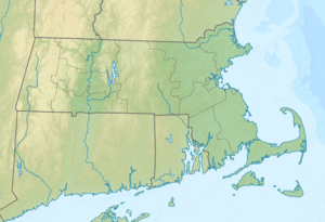
Mount Everett
| Mount Everett | ||
|---|---|---|
|
The mountain of the Bears Den Road seen from |
||
| height | 793.1 m | |
| location | Berkshire County , Massachusetts , United States | |
| Mountains | Taconic Mountains | |
| Coordinates | 42 ° 6 ′ 6 ″ N , 73 ° 25 ′ 58 ″ W | |
|
|
||
| Type | Thrust | |
| rock | Metamorphic rock | |
| Age of the rock | Cambrian | |
| Normal way | Appalachian Trail | |
At 2,602 ft (793.1 m ), Mount Everett is the highest point in the southern Taconic Mountains in the US states of Massachusetts , Connecticut and New York .
The mountain was given its current name in 1839 by geologist Edward Hitchcock, who named it after the then governor of Massachusetts (1836–1839) and later President of Harvard University (1846–1849) Edward Everett . Mount Everett is also known as Bald Dome , Bald Peak , Dome Peak , Mount Washington , Takonnack Mountain, and Taughanuc Mountain .
The summit and the west side of the mountain are in the urban area of Mount Washington , while the eastern flank is in Sheffield . Most of the elevation lies within the Mount Everett State Reservation or the Mount Washington State Forest ; the other areas are also designated as protected areas.
On its east side, Mount Everett drains over the Race Brook, Schenob Brook and Hubbard Brook into the Housatonic River and finally into the Long Island Sound , on the west side it drains its water over the Guilder Brook, City Brook and Bash Bish Brook into the Roeliff Jansen Kill , which last flows into the Atlantic Ocean via the Hudson River .

