
Municipio Tapacarí
| Municipio Tapacarí | |||
|---|---|---|---|
| Basic data
|
|||
| Population (state) - population density |
24,595 inhabitants (2012 census) 15 inhabitants / km² |
||
| Post Code | 03-1101 | ||
| Telephone code | (+591) | ||
| surface | 1,646 km² | ||
| height | 3700 m | ||
| Coordinates | 17 ° 35 ′ S , 67 ° 5 ′ W | ||
|
|||
| politics
|
|||
| Department | Cochabamba | ||
| province | Tapacarí province | ||
| Central place | Tapacarí | ||
| climate | |||
 Climate diagram Tapacarí |
|||

The Municipio Tapacarí is a district in the Department of Cochabamba in the South American Andean state of Bolivia .
Location in the vicinity
The Municipio Tapacarí is the only municipality in the Province of Tapacarí . It is bordered to the northwest by the La Paz department , to the southwest by the Oruro department , to the south by the province of Arque , to the east by the province of Quillacollo , and to the north by the province of Ayopaya .
The largest settlement in the center of the municipality is Tapacarí with 515 inhabitants. ( 2012 census )
geography
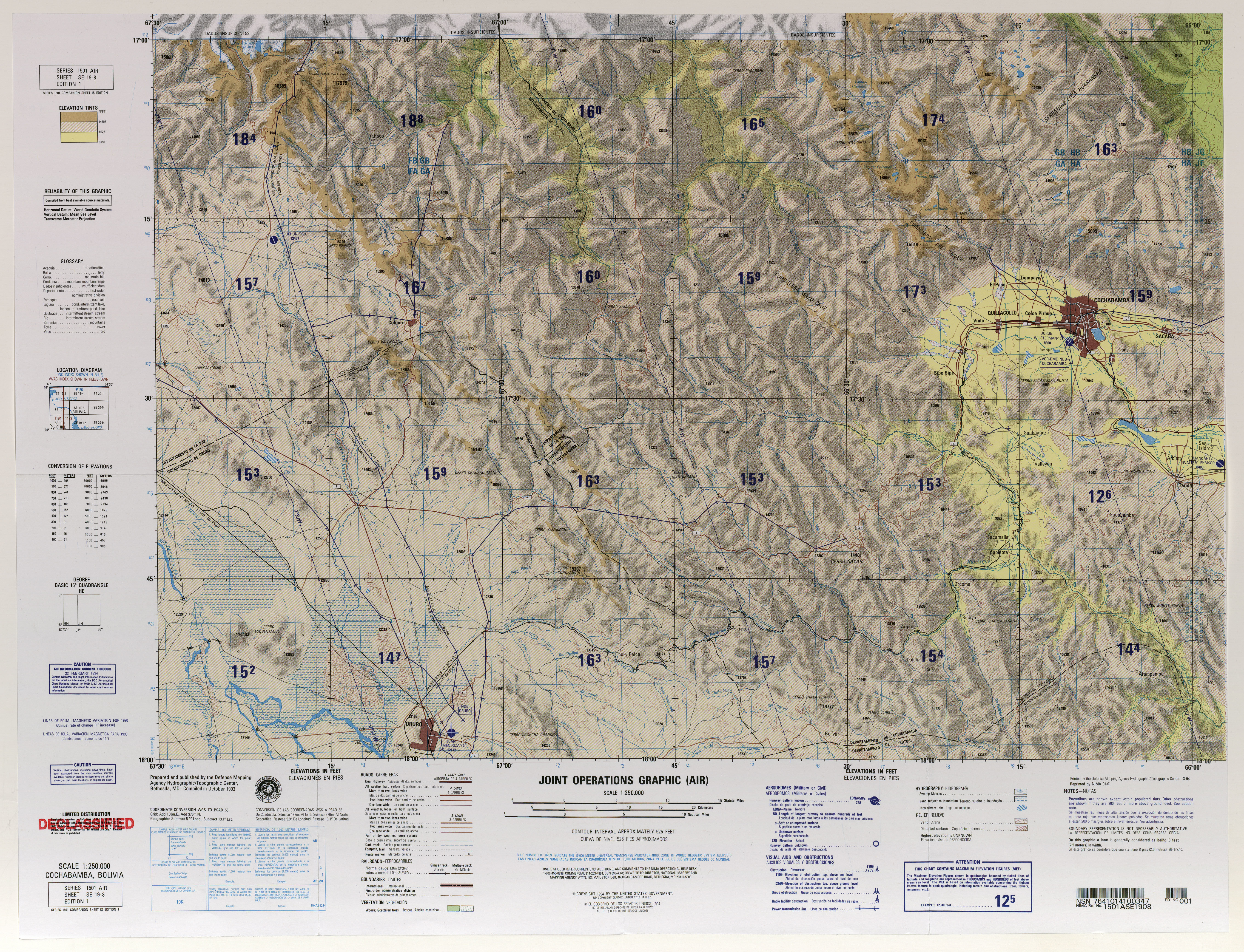
The municipality of Tapacarí is located east of the Altiplano between the mountain ranges of the Serranía de Sicasica and the Cordillera Mazo Cruz , which in turn is part of the Bolivian Cordillera Oriental . The region is characterized by a typical daytime climate , in which the temperature differences during the day are more pronounced than the seasonal temperature differences.
The mean annual temperature of the region is 10 to 11 ° C (see Tapacarí climate diagram), the monthly mean temperatures fluctuate between 6 and 7 ° C in June / July and 13 ° C in November / December. The annual precipitation is around 600 mm and falls mainly from December to February with monthly precipitation of 100 to 140 mm, while in the winter months from May to September there is a dry season with monthly precipitation of less than 15 mm.
population
The population of the Municipio Tapacarí has increased by around a quarter in the past two decades:
| year | Residents | source |
|---|---|---|
| 1992 | 19.202 | census |
| 2001 | 25,919 | census |
| 2012 | 24,595 | census |
The population density of the municipality was 14.9 inhabitants / km² at the 2001 census, the proportion of the urban population is 0 percent.
The life expectancy of newborns in 2001 was 52.4 years.
The literacy rate among those over 19 is 50.8 percent, namely 69.3 percent for men and 33.2 percent for women (2001) .
politics
Results of the elections for the municipal council ( concejales del municipio ) in the regional elections on April 4, 2010:
| electoral legitimate |
electoral participation |
valid votes | MAS-IPSP | MSM | ||
|---|---|---|---|---|---|---|
| 11.304 | 9,627 | 7,724 | 7,274 | 450 | ||
| 85.2% | 80.2% | 94.2% | 5.8% |
structure
The municipality Tapacarí was subdivided in the last census of 2012 in the following four cantons ( cantones ):
- 03-1101-01 Canton of Ramadas - 153 villages - 9,844 inhabitants ( 2001: 6,508 inhabitants )
- 03-1101-02 Canton Leque - 26 villages - 2,720 inhabitants ( 2001: 3,911 inhabitants )
- 03-1101-03 Canton Challa - 58 localities - 6,102 inhabitants ( 2001: 6,061 inhabitants )
- 03-1101-04 Canton Tapacarí - 59 localities - 5,929 inhabitants ( 2001: 9,429 inhabitants )
Localities in the municipality of Tapacarí
- Canton of Ramadas
- -
- Canton of Leque
- -
- Canton of Challah
- Challa Grande 529 pop.
Individual evidence
- ^ INE - Instituto Nacional de Estadística Bolivia 1992
- ^ INE - Instituto Nacional de Estadística Bolivia 2001
- ^ INE - Instituto Nacional de Estadística Bolivia 2012
- ↑ Acta de computo Nacional Electoral Departamentales, Municipales y Regional 2010
Web links
- Relief map Tarata 1: 100,000 (9.8 MB; PDF)
- Raised relief map Cochabamba 1: 250,000 (9.5 MB)
- Municipio Tapacarí - General Maps No. 31101
- Municipio Tapacarí - detailed map and population data (PDF; 696 kB) ( Spanish )
- Departamento Cochabamba - social data of the municipalities (PDF; 7.58 MB) ( Spanish )