Panacea (Florida)
| Panacea | ||
|---|---|---|
|
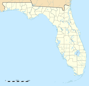
Location in Florida
|
||
| Basic data | ||
| State : | United States | |
| State : | Florida | |
| County : | Wakulla County | |
| Coordinates : | 30 ° 2 ′ N , 84 ° 24 ′ W | |
| Time zone : | Eastern ( UTC − 5 / −4 ) | |
| Residents : | 816 (as of 2010) | |
| Height : | 2 m | |
| Area code : | +1 850 | |
| FIPS : | 12-54625 | |
| GNIS ID : | 2628528 | |
Panacea is a census-designated place (CDP) in Wakulla County in the US state of Florida with 816 inhabitants (as of 2010).
geography
Panacea is located on the Gulf of Mexico , around 15 km south of Crawfordville and around 40 km south of Tallahassee . The CDP is crossed by Florida State Road 30 .
Demographic data
According to the 2010 census, the then 816 inhabitants were distributed over 556 households. 95.3% of the population identified themselves as white , 1.7% as African American and 0.4% as Native American . 0.4% said they belonged to another ethnic group and 2.2% to several ethnic groups. 1.2% of the population was made up of Hispanics or Latinos .
In 2010 children under the age of 18 lived in 27.4% of all households and persons aged 65 or over lived in 33.8% of all households. 61.8% of the households were family households (consisting of married couples with or without offspring or a parent with offspring). The average household size was 2.38 people and the average family size was 2.99 people.
24.2% of the population were younger than 20 years, 19.3% were 20 to 39 years old, 32.2% were 40 to 59 years old, and 24.3% were at least 60 years old. The mean age was 44 years. 54.7% of the population were male and 44.3% were female.
The median annual income was $ 18,920, with 26.1% of the population living below the poverty line.
Individual evidence
- ^ Profile of General Population and Housing Characteristics: 2010. United States Census Bureau , accessed July 18, 2015 .

