
Pelechuco
| Pelechuco | |||
|---|---|---|---|
| Basic data | |||
| Residents (state) | 981 pop. (2012 census) | ||
| height | 3592 m | ||
| Post Code | 02-0702-0101-0001 | ||
| Telephone code | (+591) | ||
| Coordinates | 14 ° 49 ′ S , 69 ° 4 ′ W | ||
|
|||
| politics | |||
| Department | La Paz | ||
| province | Franz Tamayo Province | ||
| climate | |||
 Climate diagram Pelechuco |
|||

Pelechuco is a town in the La Paz department in the South American Andean state of Bolivia . The village was founded by Jesuits in 1560 .
Location in the vicinity
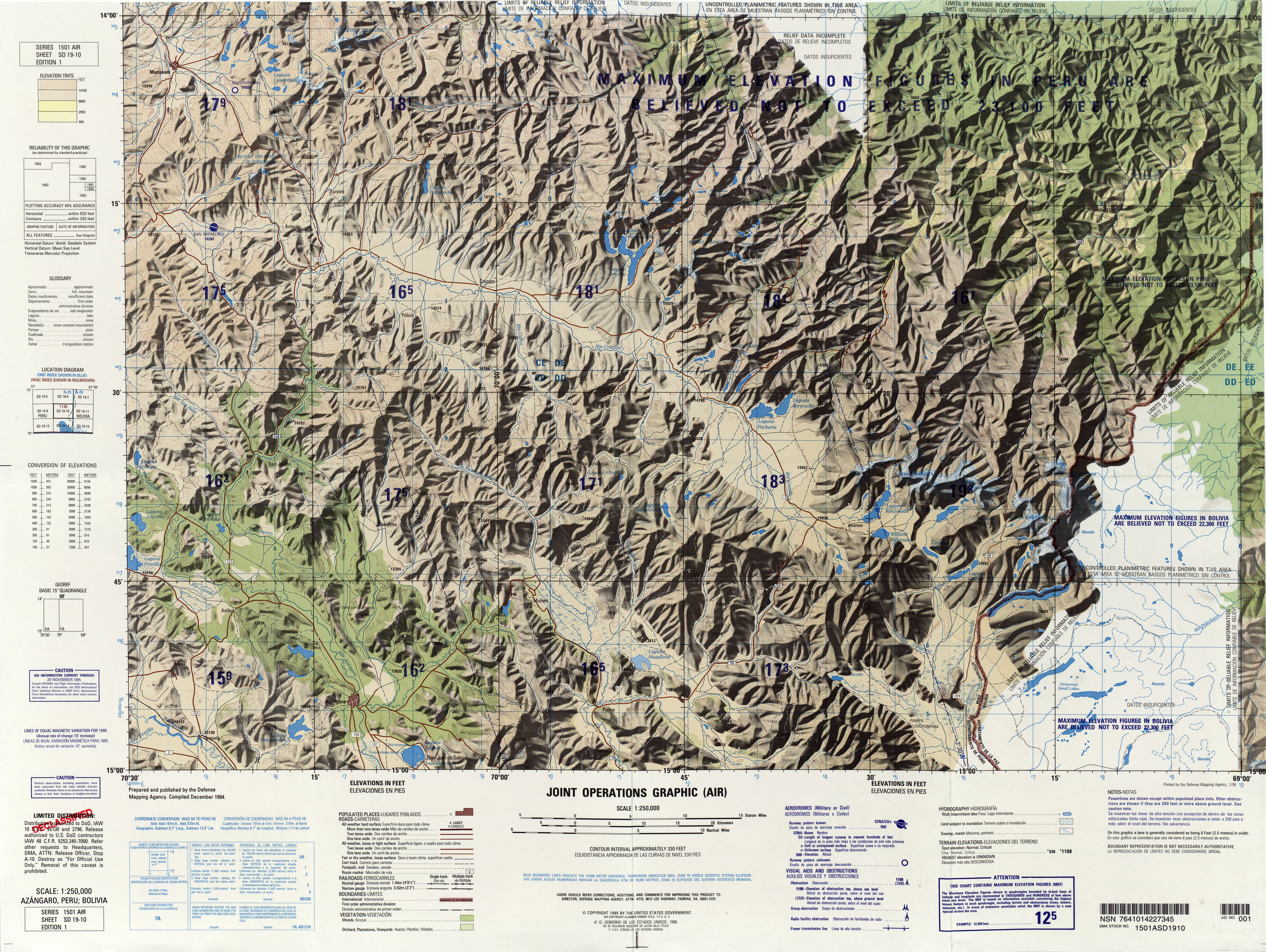
Pelechuco is the central place of the district ( Bolivian : Municipio ) Pelechuco in the province of Franz Tamayo . The village is located at an altitude of 3592 m in the northwestern foothills of the Cordillera Apolobamba , 20 kilometers as the crow flies east of the Peruvian border, on the bank of a left tributary to the Río Sorapata .
geography
Pelechuco is located in the northern part of the Bolivian Cordillera Central . The region has a distinctive time-of-day climate in which the mean temperature fluctuation is more pronounced during the day than during the seasons.
The annual average temperature of the region is 5 ° C, the annual precipitation is about 750 mm (see climate diagram Pelechuco). The monthly average temperatures fluctuate only insignificantly between 2 ° C in June / July and 6 ° C in October to December, the monthly precipitation is between under 10 mm in the months of June and July and over 100 mm from December to March.
history
During the Inca period, Pelechuco was an important place on the Qhapaq Ñan highway . The official founding date is however the year 1560. In 1911 Percy Fawcett came on one of his exploration missions through Pelechuco.
Transport network
Pelechuco is located at a distance of 338 kilometers by road northwest of La Paz , the capital of the department of the same name.
From La Paz the highway Ruta 2 leads via El Alto in a north-westerly direction 30 kilometers to Huarina , from there the Ruta 16 via Achacachi and Puerto Carabuco to Escoma near the mouth of the Río Suches in Lake Titicaca. From there it continues north and after 50 kilometers reaches Villa Rosario de Wila Khala . From there the Ruta 1265 leads via Ulla Ulla past the Laguna Coloco and the pass summit “Apacheta de Katantika” (“apacheta” is a place where alcohol and coca leaves are offered to the Pachamama to ask for a safe journey) with one Height of 4850 m, reaches Pelechuco after 93 kilometers and ends there.
population
The population of the place has increased by more than a third in the past two decades:
| year | Residents | source |
|---|---|---|
| 1992 | 699 | census |
| 2001 | 936 | census |
| 2012 | 981 | census |
The region's population is made up roughly equally of the indigenous peoples of the Aymara and Quechua .
Individual evidence
- ↑ Bolivia. Lonely Planet (2004)
- ↑ bolpress.com Pelechuco: el encanto del finisterre
- ^ Instituto Nacional de Estadística Bolivia (INE) 1992
- ^ INE - Instituto Nacional de Estadística Bolivia 2001
- ↑ INE - Instituto Nacional de Estadística Bolivia 2012 ( Memento of the original from July 22, 2011 in the Internet Archive ) Info: The archive link has been inserted automatically and has not yet been checked. Please check the original and archive link according to the instructions and then remove this notice.
- ↑ INE social data (PDF; 12.2 MB)
Web links
- Relief map of the Pelechuco region 1: 250: 000 (JPG; 8.83 MB)
- Municipio Pelechuco - General Maps No. 20702
- Municipio Pelechuco - detailed map and population data (PDF; 839 kB) ( Spanish )
- Departamento La Paz - social data of the municipalities (PDF; 11.63 MB) ( Spanish )