
Río Unduavi
| Río Unduavi | ||
 View of the valley of the Río Unduavi |
||
| Data | ||
| location | Bolivia | |
| River system | Amazon | |
| Drain over | Río Tamampaya → Río Boopi → Río Beni → Madeira → Amazon → Atlantic | |
| source |
La Cumbre (La Paz) 16 ° 19 ′ 48 ″ S , 68 ° 3 ′ 5 ″ W. |
|
| Source height | 4744 m | |
| muzzle | Confluence with Río Taquesi to Río Tamampaya Coordinates: 16 ° 24 ′ 9 ″ S , 67 ° 38 ′ 27 ″ W 16 ° 24 ′ 9 ″ S , 67 ° 38 ′ 27 ″ W |
|
| Mouth height | 1200 m | |
| Height difference | 3544 m | |
| Bottom slope | 52 ‰ | |
| length | 68 km | |
The Río Unduavi is a river in the La Paz department in the highlands of the Andean state Bolivia .
course
The Río Unduavi has its origin at a straight line distance of 15 kilometers northeast of the metropolis of La Paz , about four kilometers east of the Andean peaks Charquini and Wilamanquilisani . The source of the water is a small mountain lake at an altitude of 4744 m directly at the top of the La Cumbre pass , where the Ruta 3 highway connects the city of La Paz with the Yungas region of the lowlands.
The Río Unduavi flows for the first ten kilometers in an approximately easterly direction in the municipality of La Paz in the province of Murillo and runs for the remaining 58 kilometers in the municipality of Yanacachi in the province of Sud Yungas . The Cotapata National Park extends north of the river for the first 27 kilometers , the river then turns to the southeast until it joins the Río Taquesi flowing in from the right at the Puente Villa settlement at an altitude of 1200 m . Below Puente Villa the river bears the name Río Tamampaya , which in turn joins the Río de la Paz to the Río Boopi , a tributary to the Río Beni .
Web links
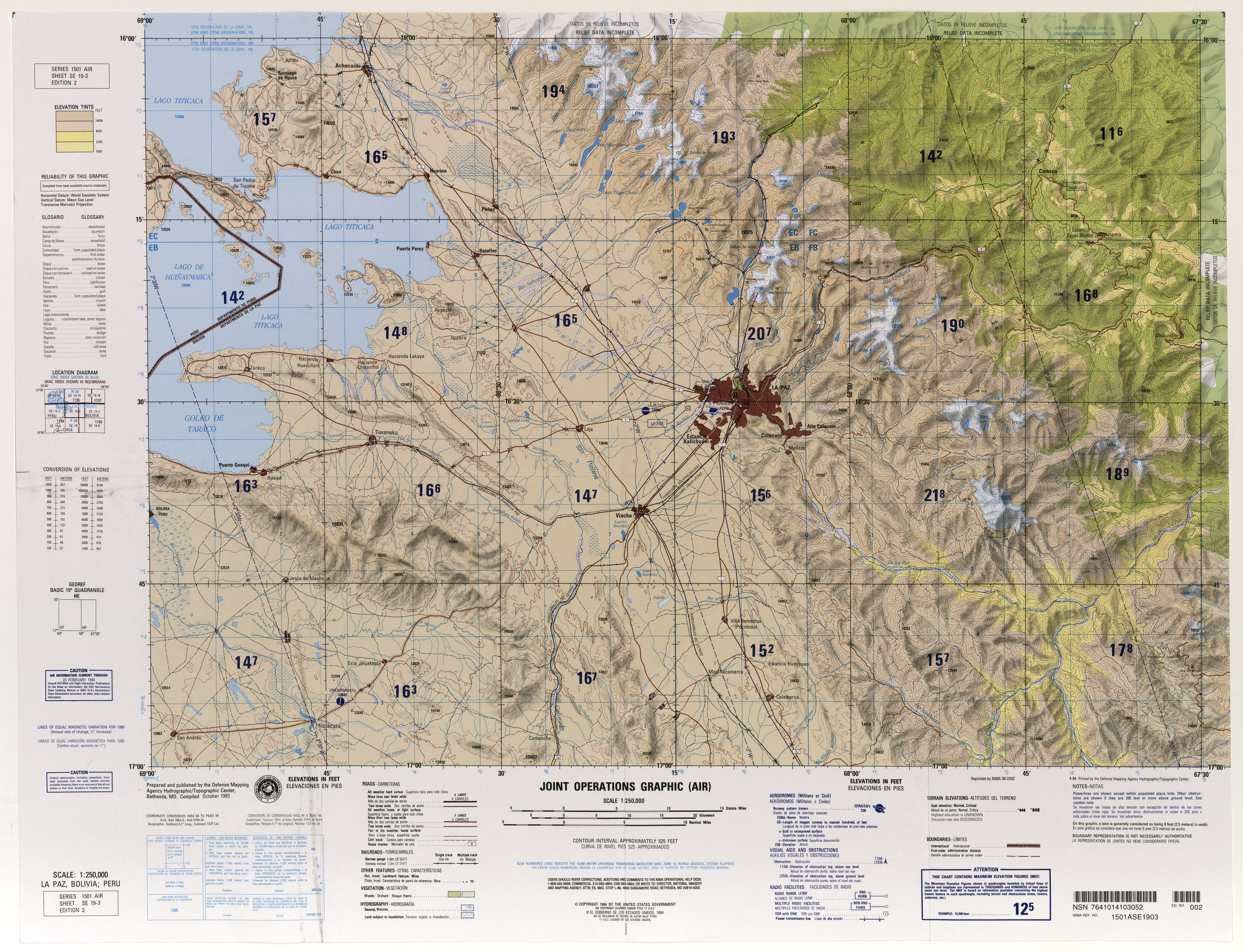
- Map SE 19-3 La Paz, Bolivia; Peru (PDF; 11.3 MB)
- MiraBolivia - Card 118