
Tamampaya River
| Tamampaya River | ||
|
|
||
| Data | ||
| location | Bolivia | |
| River system | Amazon | |
| Drain over | Río Boopi → Río Beni → Madeira → Amazon → Atlantic | |
| source | Confluence of the Río Unduavi and Río Taquesi 16 ° 20 ′ 10 ″ S , 67 ° 38 ′ 27 ″ W |
|
| Source height | 1200 m | |
| muzzle | Confluence with Río de la Paz to Río Boopi Coordinates: 16 ° 18 ′ 34 ″ S , 67 ° 17 ′ 48 ″ W 16 ° 18 ′ 34 ″ S , 67 ° 17 ′ 48 ″ W. |
|
| Mouth height | 832 m | |
| Height difference | 368 m | |
| Bottom slope | 6.5 ‰ | |
| length | 57 km | |
| Left tributaries | Río Peri | |
| Right tributaries | Río Solacama | |
The Río Tamampaya is a river in the Yungas in the La Paz department in the Andean state of Bolivia .
course
The Río Tamampaya has its origin at the confluence of the Río Unduavi with the Río Taquesi near Puente Villa at an altitude of 1200 m in a straight line distance of 53 kilometers east-northeast of the metropolis of La Paz .
The Río Tamampaya flows the first 21 km between the provinces of Nor Yungas and Sud Yungas to the northeast and bends there to the east, now completely in the province of Sud Yungas . At kilometer 39, it meets the Río Solacama flowing in from the right and is crossed by a country road that, coming from Chulumani , follows the river valley of the Río Tamampaya and later the Río Boopi to La Asunta and Puerto Rico . At 56.9 km it reaches the Río de la Paz , with which it joins the Río Boopi , which flows into the Río Beni . The valley of the Río Tamampaya is without exception narrow and steep, so that no significant settlements have emerged directly on the river. There are only two bridges over the entire length of the Tamampaya River. The climate along the river is warm and humid, depending on the altitude.
Web links
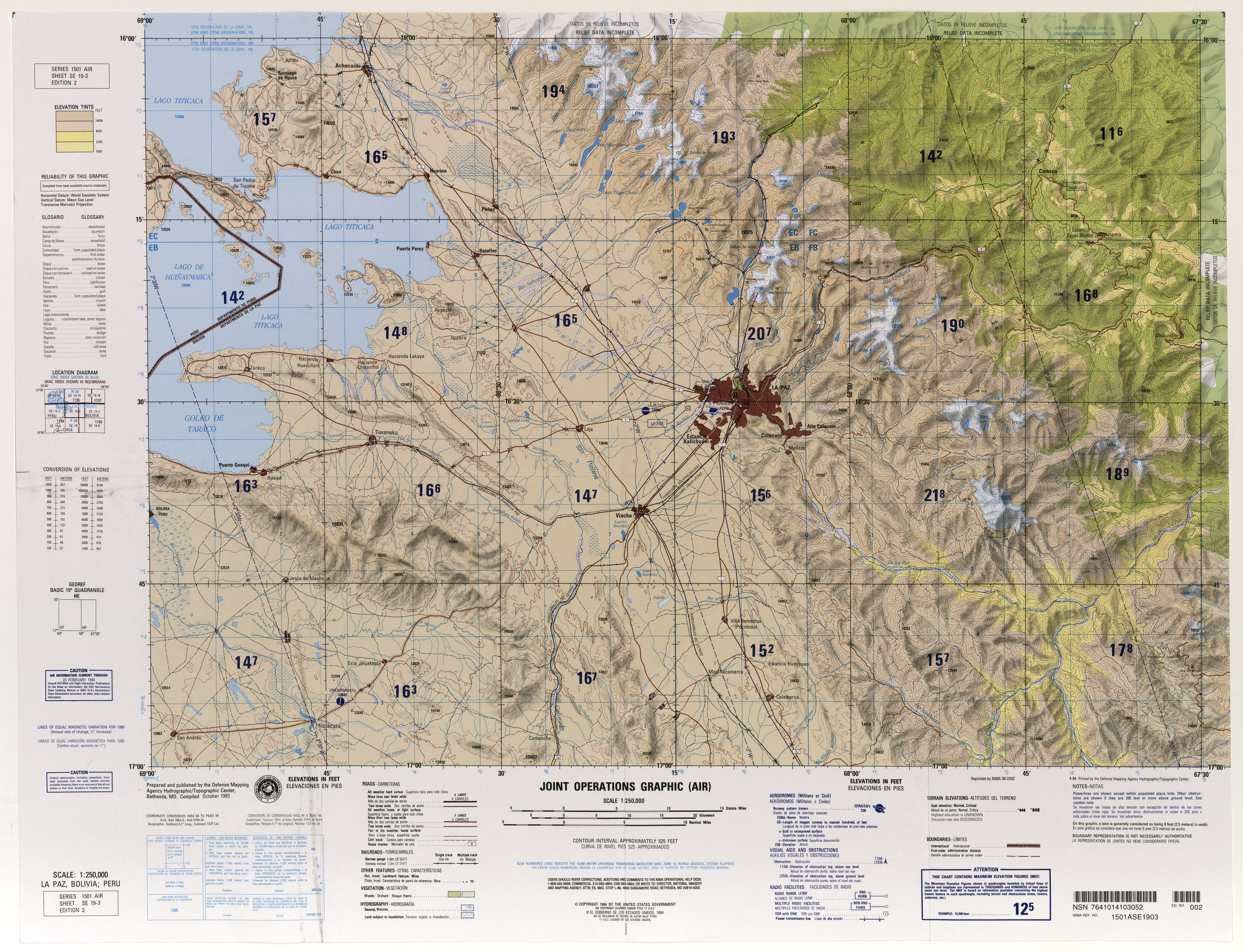
- Map SE 19-3 La Paz, Bolivia; Peru (PDF; 11.3 MB)
- MiraBolivia - Card 118