Ring 8
| Ring R8 in Belgium | |

|
|
| map | |
| Basic data | |
| Operator: | |
| Overall length: | 17 km |
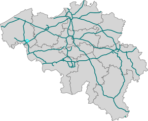
The Belgian Ring 8 is a motorway with a total length of 11 km, which runs around the city of Kortrijk as an urban motorway .
The R8 has four lanes throughout. A portion is referred to not as a highway, because the connection points not with bridges and overpasses height freely are expanded and thus intersections with traffic lights are present. The majority of the motorway ring is marked as a motorway because the entrances and exits are built with bridges.

Motorway ring R8
Web links
Commons : R8 (Belgium) - Collection of images, videos and audio files
