
San Javierito
| San Javierito | |||
|---|---|---|---|
| Basic data | |||
| Residents (state) | 957 pop. (2012 census) | ||
| height | 373 m | ||
| Post Code | 07-0301-0109-3001 | ||
| Telephone code | (+591) | ||
| Coordinates | 16 ° 10 ′ S , 61 ° 0 ′ W | ||
|
|||
| politics | |||
| Department | Santa Cruz | ||
| province | Velasco | ||
| climate | |||
 Climate diagram San Ignacio de Velasco |
|||

San Javierito is a town in the Santa Cruz Department in the lowlands of the South American Andean state of Bolivia .
Location in the vicinity
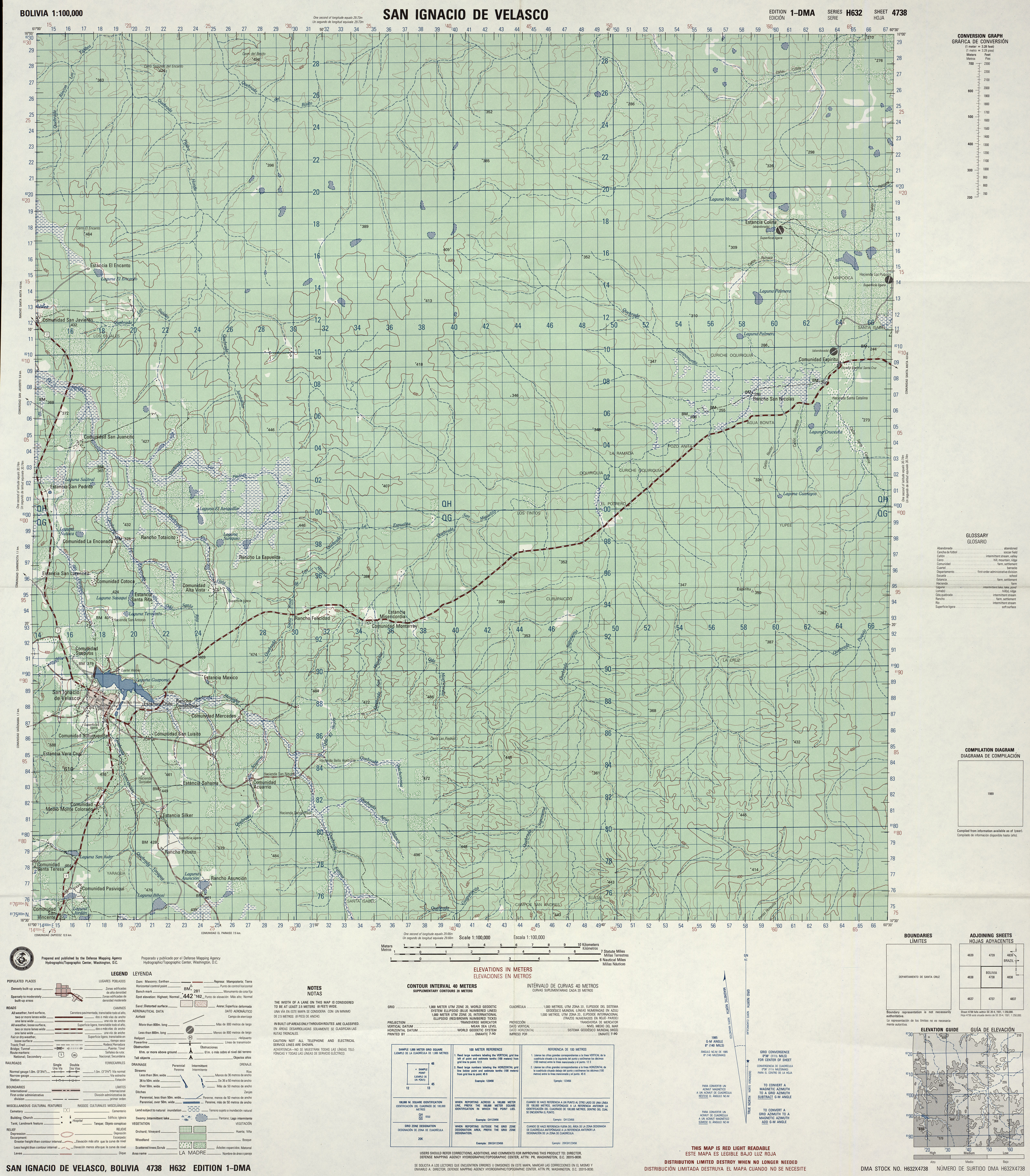
San Javierito is a municipality in the canton of San Ignacio de Velasco in the district ( Bolivian : Municipio ) of San Ignacio in the province of Velasco . The village is located at an altitude of 373 m on the right bank of the Río Paraguay , which flows into the Río Tarvo , which in turn drains to the Río Mamoré . The nearest town is Carmen de Ruíz sixteen kilometers north, the nearest larger town is San Ignacio de Velasco 25 kilometers south of San Javierito.
geography
San Javierito is located in the Bolivian lowlands in the Chiquitanía region , a largely untouched landscape between Santa Cruz and the Brazilian border.
The region's climate is a semi-humid climate of the warm tropics . The monthly average temperatures fluctuate only slightly over the course of the year between 21 ° C in June and 26.6 ° C in October (see climate diagram San Ignacio), while between September and March they are almost constantly above 25 ° C. The annual mean temperature is 24.5 ° C.
The annual rainfall averages 1200 mm over many years. Three quarters of the precipitation falls in the rainy season from November to March, while in the dry season in the arid months of June to August less than 30 mm fall per month.
Transport network
San Javierito is located at a distance of 414 kilometers by road northeast of Santa Cruz , the capital of the department.
The direct route from San Javierito to Santa Cruz via San Ignacio de Velasco, from there via the highway Ruta 17 south to San Miguel , on the Ruta 39 to the southwest to Cuatro Cañadas , on the Ruta 9 to Pailón and on the Ruta 4 via Cotoca to Santa Cruz.
The town of San Javierito is located directly on an unpaved section of the Ruta 10 , which crosses the Santa Cruz department in a west-east direction and from San Juan del Piraí north of Santa Cruz via San Ramón , Lagunillas and Santa Rosa de la Roca to San Javierito and then on via San Ignacio to San Matías on the border with Brazil .
population
The population of the village has doubled in the past two decades:
| year | Residents | source |
|---|---|---|
| 1992 | 669 | census |
| 2001 | 839 | census |
| 2012 | 957 | census |
Individual evidence
- ^ INE - Instituto Nacional de Estadística Bolivia 1992
- ^ INE - Instituto Nacional de Estadística Bolivia 2001
- ↑ INE - Instituto Nacional de Estadística Bolivia 2012 ( Memento of the original from July 22, 2011 in the Internet Archive ) Info: The archive link has been inserted automatically and has not yet been checked. Please check the original and archive link according to the instructions and then remove this notice.
Web links
- Topographic map of the Ignacio de Velasco region 1: 100,000 (PDF; 10.4 MB)
- Topographic map of the Santa Rosita region 1: 100,000 (PDF; 1.8 MB)
- Relief map of the San Ignacio de Velasco region 1: 250,000 (PDF; 5.30 MB)
- Municipio San Ignacio de Velasco - General Maps No. 70301
- Municipio San Ignacio de Velasco - detailed map and population data (PDF; 3.64 MB) ( Spanish )
- Department Santa Cruz - Social data of the municipalities (PDF; 4.99 MB) ( Spanish )