Sancreed
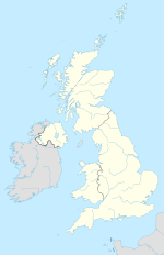
Coordinates: 50 ° 6 ′ N , 5 ° 36 ′ W
| Sancreed | |||
|---|---|---|---|
|
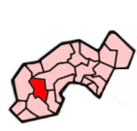
 Location in the former District of Penwith Location in the former District of Penwith
|
||
| Basic data | |||
| status | Civil Parish | ||
| region | South West England | ||
| Ceremony county | Cornwall | ||
| Trad. county | Cornwall | ||
| Administrative headquarters | Sancreed | ||
| Residents | 628 (2001) | ||
| Post Code | TR19 8xx | ||
| Telephone code | 01736 | ||
| Sub-locations | Bejouans , Bosvennen , Botreah , Drift , Sancreed, | ||
| Website | - | ||
Sancreed ( Cornish : Eglossankres) is a 18.6 km² parish and a place in the former district of Penwith in the county of Cornwall in England . It includes the settlements of Bejouans , Bosvennen , Botreah , Drift , Sancreed, Trenuggo and Tregonnebris .
It borders on the parish of St Just to the west, Madron to the northeast and St Buryan and Paul to the south . Sancreed is about 5.8 km northwest of Penzance along a small road that leads to the A30 .
history
As in many Cornish parishes, the history of Sancreed can be traced back to its legendary foundation by St. Credan, a saint of the Celtic Church. A former holy well and an old baptismal font document the beginnings of the Celtic church just a few hundred meters from the current house of God. A pastor discovered both examples of this culture in the late 19th century . They are about the same age as the Madron fountains. The community also shares a common custom with Madron. The residents hang thin rags of clothing on the trees around the holy well (St Uny's well). Through this people hope for healing and the fulfillment of wishes.
Attractions
In the village are:
- the copy of a medieval cross, the original of which is in the churchyard of Illogan .
- southwest of the place the Entrance Grave (entrance grave ) of Brane .


