Stonington (Connecticut)
| Stonington | ||
|---|---|---|
|
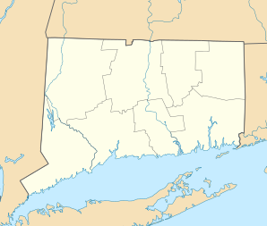
Location in Connecticut
|
||
| Basic data | ||
| Foundation : | 1649 | |
| State : | United States | |
| State : | Connecticut | |
| County : | New London County | |
| Coordinates : | 41 ° 22 ′ N , 71 ° 54 ′ W | |
| Time zone : | Eastern ( UTC − 5 / −4 ) | |
| Residents : | 18,336 (as of 2005) | |
| Population density : | 183 inhabitants per km 2 | |
| Area : | 129.5 km 2 (approx. 50 mi 2 ) of which 100.2 km 2 (approx. 39 mi 2 ) are land |
|
| Height : | 23 m | |
| Postcodes : | 06355, 06378, 06379 | |
| Area code : | +1 860 | |
| FIPS : | 09-73700 | |
| GNIS ID : | 0213513 | |
| Website : | www.stonington-ct.gov | |
Stonington is a city in New London County in the US state of Connecticut , United States , with 18,300 inhabitants (as of 2004). The geographical coordinates are: 41.33 ° North, 71.90 ° West.
Stonington is located in the southeast of the state and is home to the boroughs of Stonington, Mystic , Old Mystic , Pawcatuck and Wequetequock , where the first European settlements emerged in 1649 . The city of North Stonington was split off from Stonington in 1724 and incorporated again in 1807.
Stonington lacks modern industry which, along with its role as a popular summer residence since the Civil War , has helped maintain its colonial and neoclassical architecture. There is a large Portuguese community.
After the city which is Stonington Island in Antarctica named.
geography
The city has a total area of about 129.6 km² , of which 100.2 km² is land and 29.4 km² is water (22.68%).
Personalities
sons and daughters of the town
- John Hart (around 1713–1779), one of the founding fathers of the USA as a signatory of the US Declaration of Independence
- Edmund Fanning (1769–1841), explorer, researcher and traveling salesman in the South Seas
- Samuel Prentiss (1782-1857), US Senator
- Thomas Wheeler Williams (1789–1874), politician
- Nathaniel Palmer (1799–1877), seaman; there is a museum in his honor at Captain Nathaniel B. Palmer House .
- Noyes Billings (1800-1865), politician
- James Hammond Trumbull (1821-1897), linguist
- James M. Pendleton (1822-1899), politician
- George Townsend Adee (1874-1948), football player and tennis official
- Joseph J. Fauliso (1916–2014), politician
- Sugar Ray Norcia (* 1954), singer and harmonica player
Personalities related to the city
- The chemical historian Williams Haynes (1886–1970) lived and died in Stonington .
- Rob Simmons (born 1943), politician
- Greg Raymer (born 1964), poker player
Web links
- Official website of the City of Stonington
