Anahim Lake Airport
| Anahim Lake Airport | ||
|---|---|---|
|
|
||
| Characteristics | ||
| ICAO code | CAJ4 | |
| IATA code | YAA | |
| Coordinates | ||
| Height above MSL | 1107 m (3632 ft ) | |
| Transport links | ||
| Distance from the city center | 2 km south of Anahim Lake | |
| Street | British Columbia Highway 20 | |
| Start-and runway | ||
| 13/31 | 1200 m × 23 m asphalt | |
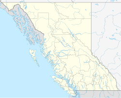
The Anahim Lake Airport is a regional airport in Anahim Lake in the Canadian province of British Columbia . It is in the UST-8 (DST-7) time zone. It is open all year round and is an important link for West Chilcotin. The airport is used by many charter and private airlines to transport tourists to the region.
history
In 2000, with support from Transport Canada, repairs were made to the runway and taxiway at the airport .
Start-and runway
The following navigation and landing aids are available when approaching this airport: NDB
Runway in operation:
- Runway 13/31, length 1200 m, width 22 m, asphalt
The orbit has a gradient of 0.6% (northwest end: Elev 3615 ft, southeast end: Elev 3639 ft).
former Lahndebahn:
- Runway 06/24, length 835 m, width 30 m, gravel.
The runway is still available, but cannot be used.
service
The following types of aviation fuel are available at the airport:
Flight connections
Pacific Coastal Airlines has flights to Vancouver , Victoria and Bella Coola .
Web links
Individual evidence
- ↑ Airport diagram. (PDF; 76.5 MB) In: NAV CANADA . Accessed April 6, 2018 .
