
Bad Harzburg triangle
| Bad Harzburg triangle | |
|---|---|
|
|
|
| location | |
| Country: | Germany |
| State : | Lower Saxony |
| Coordinates: | 51 ° 54 '31 " N , 10 ° 33' 14" E |
| Height: | 205 m above sea level NN |
| Basic data | |
| Design type: | Left-hand trumpet |
| Bridges: | 1 (motorway) |
| Construction year: | 1982 |
 |
|
| Transition of the federal autobahn 369 into the federal highway 6 shortly after the AD Bad Harzburg, October 2019 |
|
The Bad Harzburger Dreieck (abbreviation: AD Bad Harzburg , short form: Dreieck Bad Harzburg ) is a motorway triangle in the city of Bad Harzburg in Lower Saxony . It connects the federal highway 369 ( Vienenburg - Bad Harzburg) with the federal highways 4 (Bad Harzburg - Nordhausen - Erfurt ) and 6 ( Hildesheim - Goslar - Bad Harzburg).
geography
The triangle lies at a height of approx. 205 m above sea level. NHN . The Hüttenbach , a tributary of the Radau , flows under the triangle . Immediately to the northwest is Gut Radau and the Radauer Holz alluvial forest , to the south the Westerode district and to the west the Schlewecke and Harlingerode districts .
Design and state of development
The arm leading from the leading into the outgoing B6 and the arm leading from the ending B4 into the leading B6 have two lanes, the other connecting ramps are single lane. All the roads that flow into it are four lanes and at least have a motorway-like structure. The course of the B6 is thus laid out as TOTSO .
The Bad Harzburg triangle was built as a left-hand trumpet. The Westerode junction is only 400 meters to the south and only has ramps to the north.
Traffic volume
| From | To | Average daily traffic volume |
Share of heavy goods traffic |
||||
|---|---|---|---|---|---|---|---|
| 2005 | 2010 | 2015 | 2005 | 2010 | 2015 | ||
| AS Goslar-Oker (B 6) | Bad Harzburg triangle | 16,800 | 17,300 | 17,600 | 7.4% | 13.8% | 9.4% |
| Bad Harzburg triangle | AS Harlingerode (A 369) | 21,100 | 21,000 | 19,900 | 8.1% | 10.6% | 10.2% |
| Bad Harzburg triangle | AS Westerode (B 4) | 15,800 | 11,900 | 12,600 | 8.2% | 9.3% | 10.1% |
history
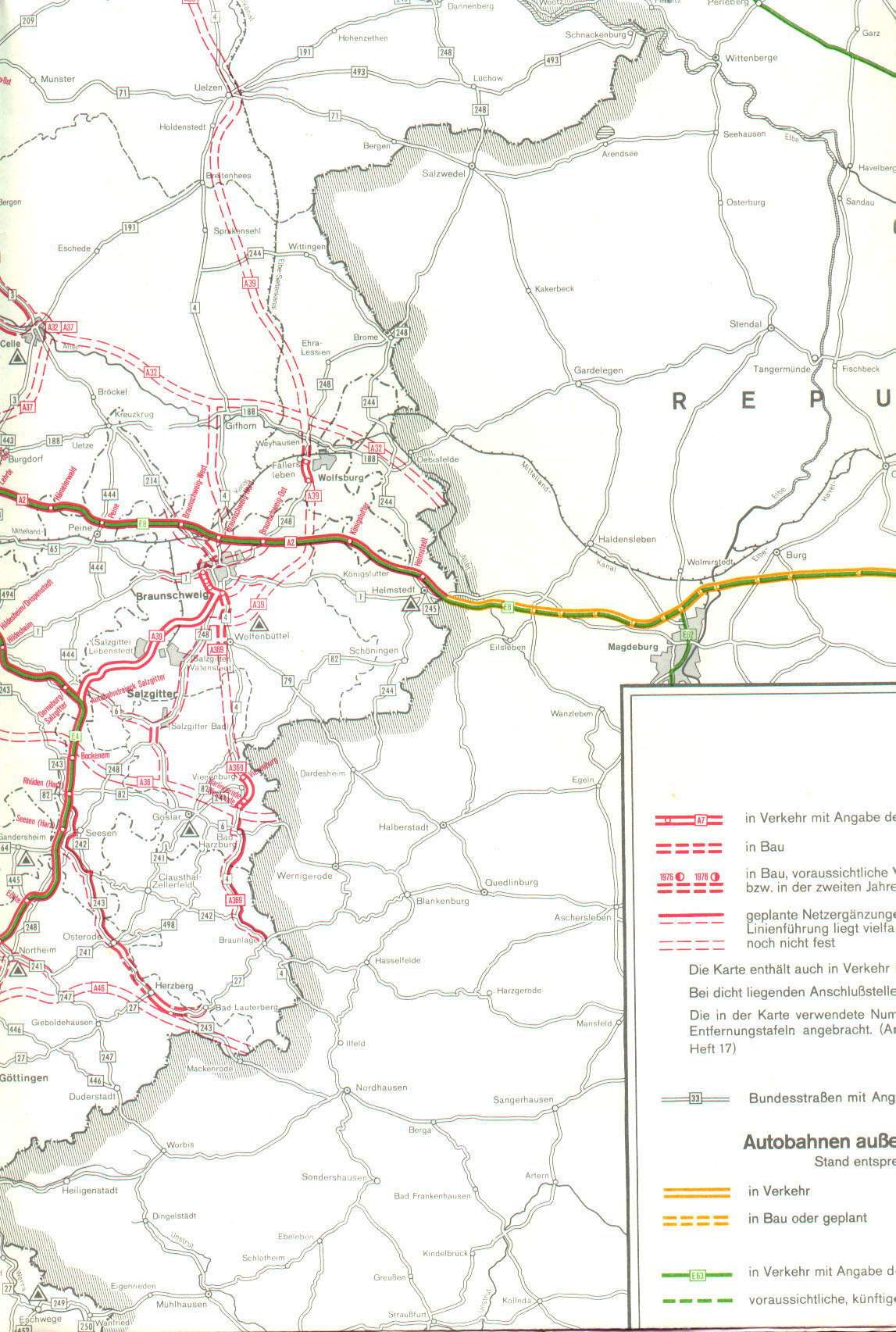
Even before the construction of the A 395 , the Bad Harzburg triangle was part of traffic considerations: A network map from the Federal Ministry of Transport from the 1970s shows a version of the Bad Harzburg triangle as a motorway junction between the A 369 and the A 36 . Ultimately, however, this variant failed, so that only the Braunschweig – Bad Harzburg route, now dedicated as the 395 federal motorway, and the Bad Harzburg bypass starting south of the Westerode junction, were built and released as a four-lane federal highway 4 from the late 1960s to 1972, although the cross-section did not conform to the motorway. At the same time, the four-lane Goslar bypass was opened in 1969 , which began on the B 241 near Sudmerberg and led through the Goslar urban area to the junction of the B 82 . These two parts were connected by the construction of the new federal highway 6 , which now began at the Bad Harzburger Dreieck and was realized between 1981 and 1987.
In the course of the construction of another four-lane route and the Vienenburg motorway triangle (today the North Harz motorway triangle ) from 1996, the A 395 north of Bad Harzburger Dreieck was stepped down to the B 6 on October 2, 2001 in order to ensure a continuous route. The two motorway triangles now formed an independent segment that was considered as part of the debate about the upgrading of the B 6 in the northern Harz region from 2018 and was officially upgraded under the name A 369 on January 1, 2019 .
Redevelopment
A thorough renovation of the AD Bad Harzburg took place in 2018 and 2019:
| Traffic relation | Beginning | The End | receipt |
|---|---|---|---|
| Halle |
June 13, 2018 | Dec 2018 | |
| Goslar |
June 13, 2018 | Dec 2018 | |
| Goslar |
July 9, 2019 | Dec 14, 2019 | |
| Bad Harzburg |
July 9, 2019 | Aug 2019 |
Web links
Individual evidence
- ↑ Lower Saxony metadata collection. LGLN
- ↑ Manual road traffic census 2005. (PDF; 1.2 MB) Results on federal highways (free routes). Federal Highway Research Institute, April 2, 2007, accessed March 15, 2019 .
- ↑ Manual road traffic census 2010. (PDF; 936 kB) Results on federal highways. Federal Highway Research Institute, December 22, 2011, accessed on March 15, 2019 .
- ↑ Manual road traffic census 2015. (PDF; 810 kB) Results on federal highways. Federal Highway Research Institute, August 31, 2017, accessed on March 15, 2019 .
- ↑ Construction work on federal trunk roads in 1976. Expansion of federal trunk roads from 1971 to 1985. Annex to road construction report 1974. Federal Minister of Transport, Road Construction Department, accessed on January 12, 2018 (map excerpt).
- ^ New construction of federal highways. Compilation of the 1972 traffic releases. Federal Minister of Transport, Road Construction Department , accessed on January 12, 2018 .
- ↑ Google Timelapse
- ↑ a b B 6: Renewal of the road between Vienenburg and Bad Harzburg triangle . ( Memento of the original from December 18, 2018 in the Internet Archive ) Info: The archive link was inserted automatically and has not yet been checked. Please check the original and archive link according to the instructions and then remove this notice. Lower Saxony Authority for Road Construction and Transport, June 6, 2018; accessed on December 18, 2018.
- ^ A 369 (old B 6): next phase of road renewal between triangle Bad Harzburg and Vienenburg . Lower Saxony State Authority for Road Construction and Transport , July 5, 2019; accessed on July 12, 2019.
- ↑ Harzburger Dreieck: Working on schedule . Goslarsche Zeitung , July 19, 2019; accessed on October 12, 2019.