
Biloberiska
| Biloberiska | |||
| Білоберізка | |||

|
|
||
| Basic data | |||
|---|---|---|---|
| Oblast : | Ivano-Frankivsk Oblast | ||
| Rajon : | Verkhovyna Raion | ||
| Height : | 419 m | ||
| Area : | 20 km² | ||
| Residents : | 1,234 (2015) | ||
| Population density : | 62 inhabitants per km² | ||
| Postcodes : | 78713 | ||
| Area code : | +380 3432 | ||
| Geographic location : | 48 ° 10 ' N , 25 ° 3' E | ||
| KOATUU : | 2620880501 | ||
| Administrative structure : | 4 villages | ||
| Address: | 78713 с. Білоберізка | ||
| Website : | https://biloberizkaotg.gov.ua/ | ||
| Statistical information | |||
|
|||


Biloberiska ( Ukrainian Білоберізка ; Russian Белоберёзка Beloberjoska , Polish Białoberezka ) is a village in the Ukrainian Oblast Ivano-Frankivsk in western Ukraine with about 1200 inhabitants.
The village is located in the south of the historical landscape of Galicia or Pokutia on the Cheremosh River , about 17 kilometers east of the Verkhovyna district center and 87 kilometers south of the Ivano-Frankivsk oblast center.
On October 2, 2015, the village became the center of the newly founded 46.34 km² rural community Biloberiska ( Білоберізька сільська громада Biloberiska silska hromada ). This includes the 3 villages Barwinkiw ( Барвінків ), Chorozewe ( Хороцеве ) and Usteriky , until then it formed the district council of the same name .
The place was mentioned in writing for the first time in the 17th century, was initially in the aristocratic republic of Poland-Lithuania , Ruthenian Voivodeship and came in 1772 as Bila Berestia , later also Białoberecka and Białoberezka to what was then the Austrian Crown Land of Galicia (until 1918 in the Kosów district ).
After the end of the First World War he came to Poland , was here from 1921 as Białoberezka in the Stanislau , Powiat Kosów , Gmina Kuty Stare voivodeships and was only occupied by the Soviet Union during World War II and from 1941 to 1944 by Germany and the Galicia district connected. After being retaken by Soviet troops in 1944, it returned to the Soviet Union in 1945 and was incorporated into the Ukrainian SSR . Since 1991 the place is part of today's Ukraine.
Web links
- Entry on the place in the Encyclopedia of the History of Cities and Villages of the Ukrainian SSR (Ukrainian)
- Białoberezka . In: Filip Sulimierski, Władysław Walewski (eds.): Słownik geograficzny Królestwa Polskiego i innych krajów słowiańskich . tape 1 : Aa-Dereneczna . Sulimierskiego and Walewskiego, Warsaw 1880, p. 187 (Polish, edu.pl ).
Individual evidence
- ↑ rural municipality Biloberiska on decentralization.gov.ua ; accessed on June 3, 2020 (Ukrainian)
- ↑ Відповідно до Закону України "Про добровільне об'єднання територіальних громад" ианкону україни "і іІвано
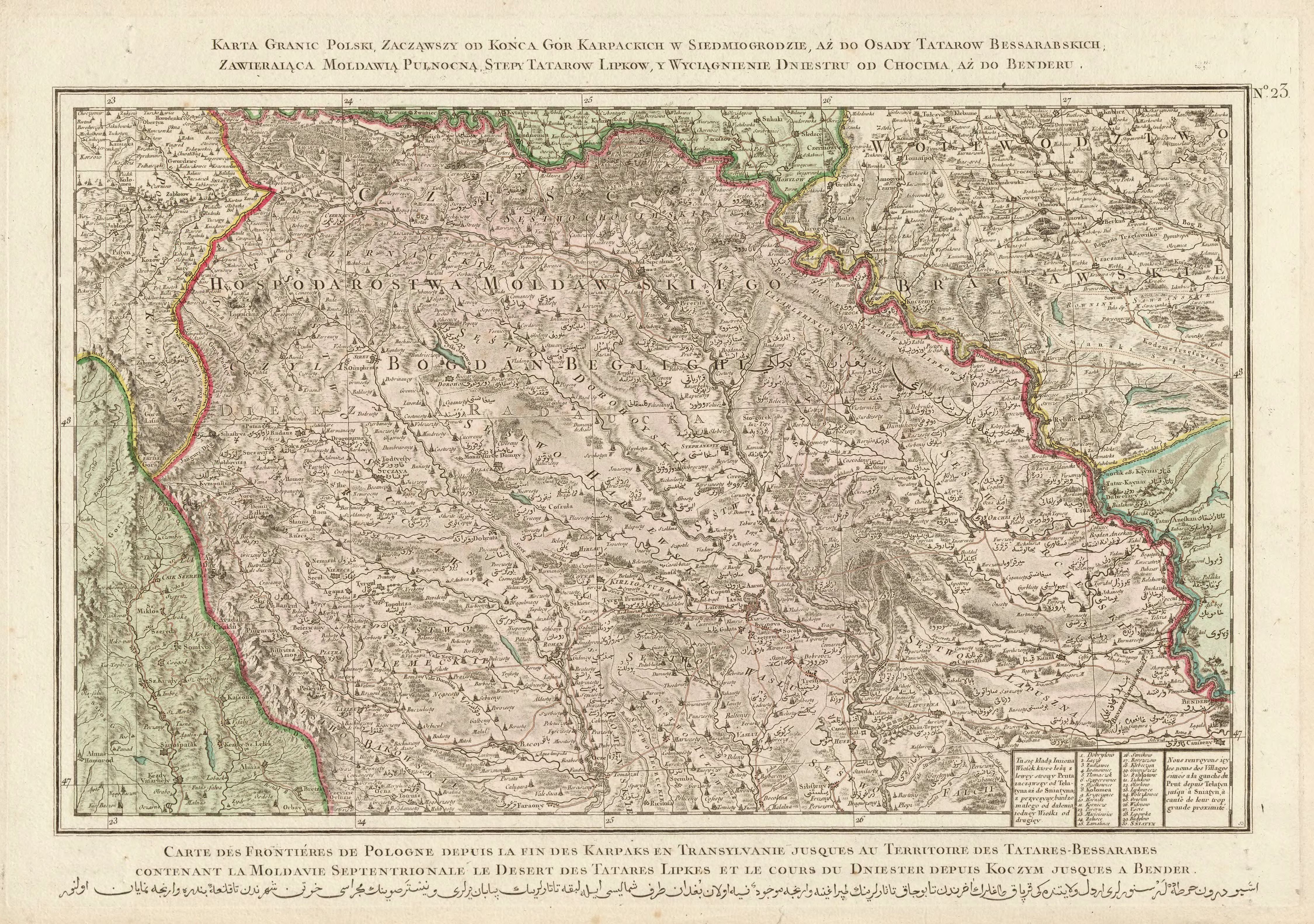
- ↑ Rizzi Zannoni, Karta granic Polski, zacząwszy od końca gór Karpackich w Siedmiogrodzie, aż do osady Tatarów Bessarabskich, Zawieraiąca Moldawią Pułnocną, stepy Tatarów Lipków, y wyciągnienie Dniestru do od Chocender .; 1772