
Buruma (Baucau)
| Buruma | |||

|
|||

|
|||
| Data | |||
| surface | 18.45 km² | ||
| population | 3,245 (2015) | ||
| Chefe de Suco | Libório dos Santos Freitas (election 2016) |
||
| Aldeias | Population (2015) | ||
| Casmuto | 860 | ||
| Ono-Sere | 1,730 | ||
| Solos, etc. | 207 | ||
| Taci | 448 | ||
|
|||

Buruma is an East Timorese place and Suco in the administrative office of Baucau ( municipality of Baucau ). The Suco is classified as urban.
The place
,_2018_(01).jpg)
The village of Buruma is located northeast of the city of Baucau , in the east of the Sucos. The country road from Baucau leads past him to Com in the east.
The Suco
| Buruma | ||
| places | position | height |
| Buruma | 8 ° 28 ′ S , 126 ° 29 ′ E | ? |
| Casmuto | 8 ° 27 ' S , 126 ° 28' E | 222 m |
| Luhadora | 8 ° 28 ′ S , 126 ° 29 ′ E | 185 m |
| Ono-Sere | 8 ° 27 ' S , 126 ° 28' E | 103 m |
| Racolo | 8 ° 27 ' S , 126 ° 28' E | 37 m |
| Solos, etc. | 8 ° 28 ′ S , 126 ° 29 ′ E | 102 m |
| Uailabere | 8 ° 27 ' S , 126 ° 29' E | 12 m |
| Uaisarigo | 8 ° 27 ' S , 126 ° 30' E | 61 m |
| Uatabo | 8 ° 26 ' S , 126 ° 28' E | 37 m |
.jpg)


3245 inhabitants live in Buruma (2015), of which 1677 are men and 1568 women. The population density is 175.9 inhabitants / km². There are 611 households in the Suco. Over 55% of the population name Tetum Prasa as their mother tongue. Over 40% speak Makasae .
Buruma is in the northeast of the Baucau Administrative Office, on the coast of the Wetar Strait . To the west are the Sucos Bahu , Tirilolo and Caibada , south of the Suco Buibau and southeast of the Suco Seiçal . Uatabo Beach, Baucau's city beach, is located on the northwest corner of Buruma. Before the 2015 territorial reform, Buruma had an area of 14.39 km². Now there are 18.45 km². Buruma gave the entire new town of Baucau to Tirilolo, and his share of the old town to Bahu. A small section at Baucau went to Caibada, which gave a large part of its eastern territory, including access to the sea, to Buruma. Seiçal also gave a small area on the border to Buruma.
The villages Racolo and Uatabo are located in the northwest of Buruma . In the northeast are the places Casmuto ( Kasmutu , Casmutu ), Buruma , Ono-Sere ( Onosere ) and Uailabere . In 2015, the villages of Soli-Ua ( Soli-Wa , Suliwa ), Luhadora and Uaisarigo came from Caibada to Buruma in the east .
In the Suco are the four Aldeias Casmuto , Ono-Sere , Soli-Ua ( Soli-Wa , Suliwa ) and Taci . According to the maps, however, the place Soli-Ua is in Suco Caibada.
Buruma was the location of the region's prison. There was room for 120 prisoners. Under the IV Constitutional Government of East Timor (2007–2012) it was closed and the prisoners were transferred to the Becora and Gleno prisons .
There are also several schools in the Suco.
politics
In the 2004/2005 elections , Manuel Freitas was elected Chefe de Suco. António Francisco Belo won the elections in 2009 and Libório dos Santos Freitas won in 2016 .
Web links
- Results of the 2010 census for the Suco Buruma ( tetum ; PDF; 8.6 MB)
- Results of the 2015 census for the Suco Buruma (tetum; PDF;)
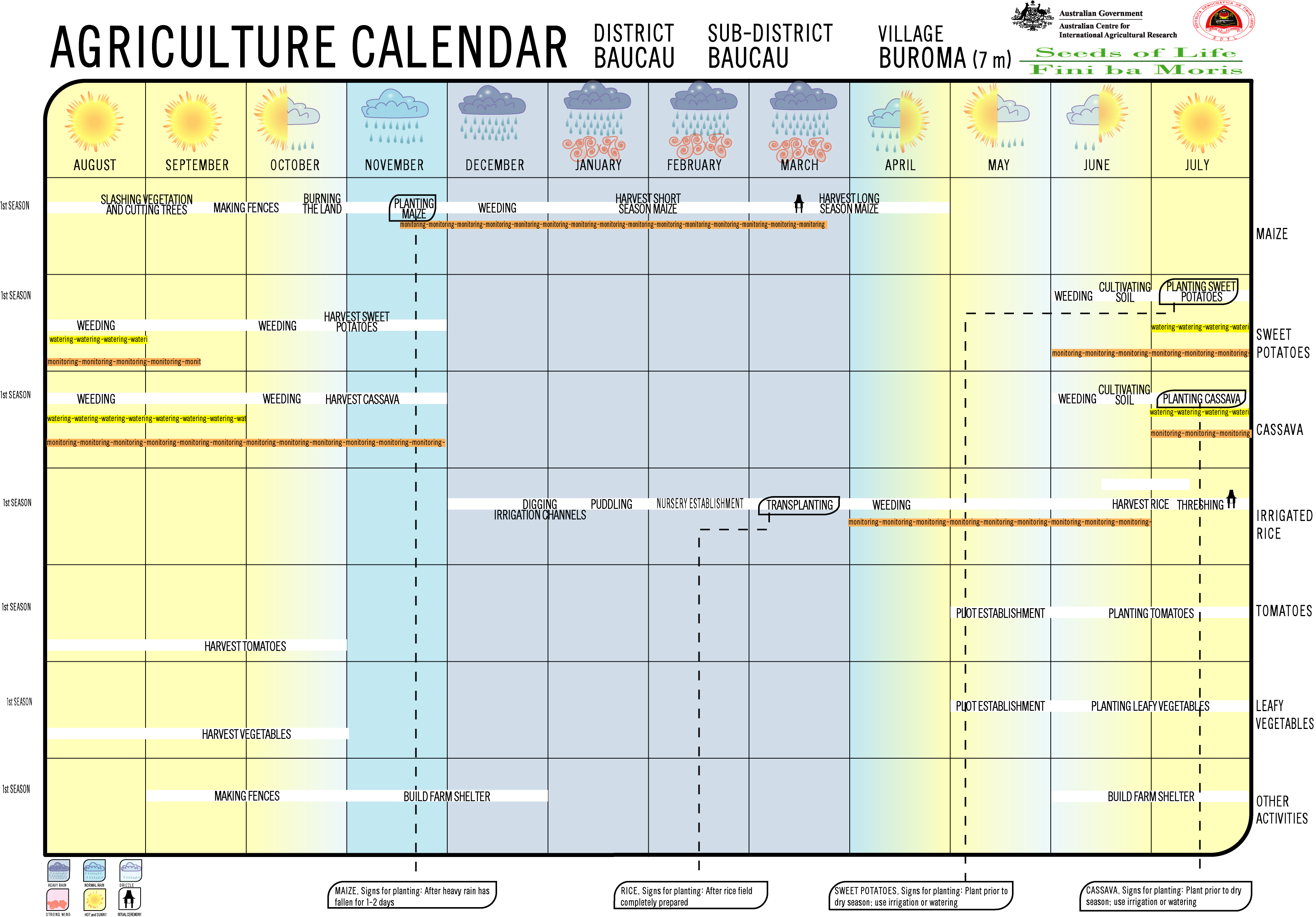
- Seeds of Life: Agriculture Calendar (English)
- Seeds of Life: Suco information sheets Baucau (tetum)
Individual evidence
- ↑ a b c d Direcção-Geral de Estatística : Results of the 2015 census , accessed on November 23, 2016.
- ↑ Fallingrain.com: Directory of Cities, Towns, and Regions in East Timor
- ↑ Results of the 2010 census for the Suco Buruma ( tetum ; PDF; 8.6 MB)
- ↑ a b c Map of the Baucau Administrative Office from the Direcção-Geral de Estatística (2015).
- ↑ Direcção Nacional de Estatística: Population Distribution by Administrative Areas Volume 2 English ( Memento from January 5, 2017 in the Internet Archive ) (Census 2010; PDF; 22.6 MB).
- ↑ a b c Timor-Leste GIS-Portal ( Memento from June 30, 2007 in the Internet Archive )
- ↑ a b c UNMIT: Timor-Leste District Atlas version 02, August 2008 ( Memento from December 3, 2011 in the Internet Archive ) (PDF; 499 kB).
- ↑ Jornal da Républica with the Diploma Ministerial n. 199/09 ( Memento of February 3, 2010 in the Internet Archive ) (Portuguese; PDF; 323 kB)
- ↑ State Budget 2008 , p. 12 , accessed on January 29, 2019.
- ↑ Secretariado Técnico de Administração Eleitoral STAE: Eleições para Liderança Comunitária 2004/2005 - Resultados ( Memento of August 4, 2010 in the Internet Archive )
- ↑ Secretariado Técnico de Administração Eleitoral STAE: Eleições para Liderança Comunitária 2009 - Resultados ( Memento of August 4, 2010 in the Internet Archive )
- ↑ Jornal da República: Lista Naran Xefe Suku Eleito 2016 , December 2, 2016 , accessed on June 17, 2020.