
North of France layer level country
The northern French cuesta landscape is one of several mountain ranges and hill country existing cuesta landscape in the north of France ( Paris Basin ), in the east of Belgium , in the south of Luxembourg and the southern West Germany. It is separated by the Upper Rhine Rift from the south-west German layered plain to the east ; to the north it joins the Rhenish Slate Mountains on the Hunsrück .
The German part of the landscape, which is limited to Rhineland-Palatinate and the Saarland , is also summarized under the rather uncommon name Saar-Nahe-Berg- und Tafelland . After the work of the former Federal Institute for Regional Studies, it represents a large landscape of the 2nd order.
The most famous and highest low mountain range in the landscape is formed by the Vosges Mountains in north-eastern France, which merge into the Palatinate Forest to the north .
Natural classification of the German shares

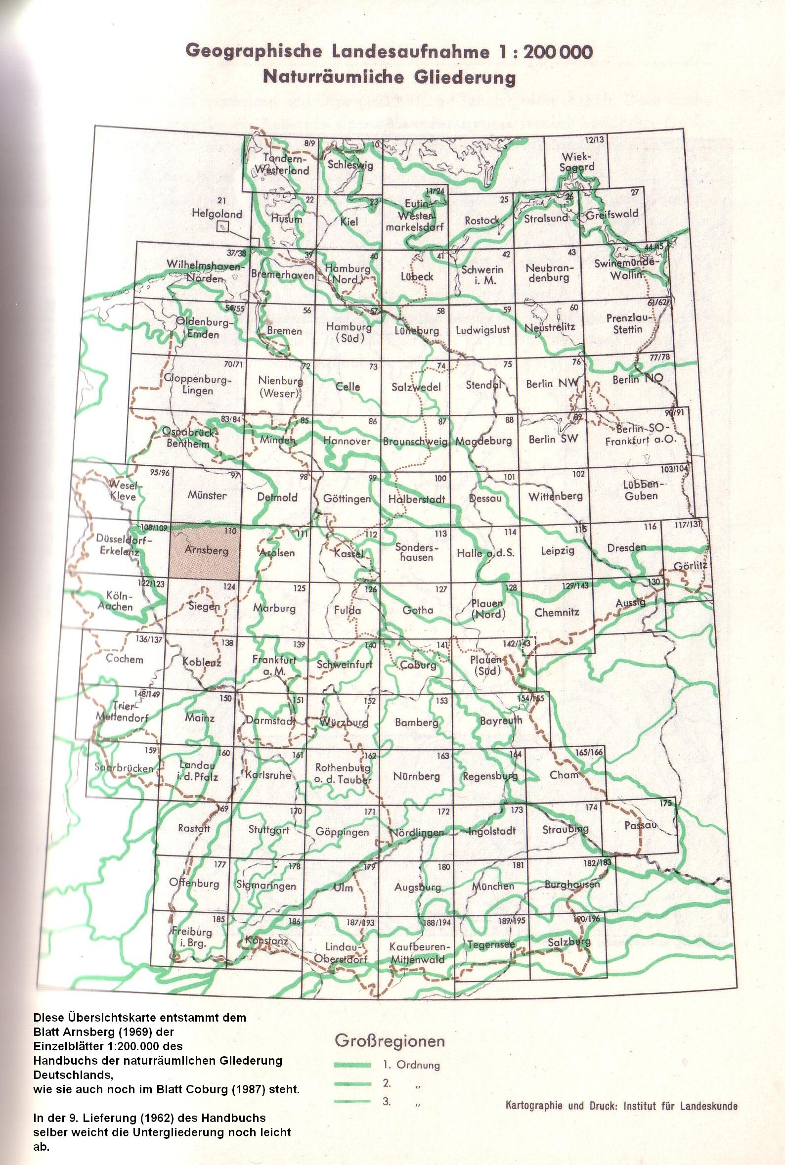
Within the structure of the Handbook of the Natural Spatial Structure of Germany and its accompanying publications, the portion of the northern French layer level country lying on German soil summarizes four main unit groups (two digits) together with subordinate main units (three digits):
-
Saar-Nahe mountain and table land
- 17 (= D51) Haardt Mountains (= Palatinate Forest )
- 170 Haardt
- 171 Dahner Felsenland
- 18 (= D50) Palatinate-Saarland Muschelkalkgebiet
- 180 Zweibrücker Westrich
- 181 Bliesgau
- 182 Merziger Muschelkalkplatte
- 19 (= D52) Saar-Nahe-Bergland
- 26 (= D49) Gutland
- 260 Mosel-Saar-Gau
- 261 Bitburger Gutland
- 262 Ferschweiler plateau
- 17 (= D51) Haardt Mountains (= Palatinate Forest )
The Saar-Nahe mountainous region consists of a former deep region of the Paleozoic Era , which is filled with Permo - Carboniferous erosion products from the Variscan fold mountain formation . With the Donnersberg ( 686.5 m , Glan-Alsenz mountain and hill country ), the extremely changeable landscape bears the highest elevation of the northern French layered plains on German soil and, along with part of the Vosges , represents the only basement part of the large landscape.
The Haardtgebirge , which adjoins it to the south and is much more homogeneous in comparison, on the Kalmit up to 673 m high, stands on Buntsandstein , the Palatinate-Saarland Muschelkalkgebiet in the west and the Gutland north of it primarily on Muschelkalk . The Gutland flanks the Hunsrück to the west and the West Eifel to the south, so it extends north to the area immediately west of the Rhenish Slate Mountains .
Emergence

The elevation of the earth's crust resulted in an inclination of the sedimented materials in the course of the earth's history. The differently resistant layers were subsequently eroded to different degrees. This created flat surfaces that were arranged between the harder and more difficult-to-erode layers. The subsequent erosion and sedimentation activity of the rivers further shaped the landscape and gave it its current appearance.
Significance for the discovery of evolution
In the spatial superimposition of the formations of the overburden , the chronological succession of their sedimentation in the course of geological epochs is shown, which took place before the Rhine rift valley began to sink, when the basement base was not yet sloping and the emerging or already formed layers of the overburden over the area of today's Upper Rhine Graben still formed a coherent land surface. The fossils stored in the formations of the overburden , which are particularly easily accessible at the strata and on the strata, gave the biologist Jean-Baptiste de Lamarck reason to suspect that in the course of the earth's history plant and Animal species changed, so that there was an evolutionary history , which is also shown here. The discoveries made by Jean-Baptiste de Lamarck and other paleontologists in the northern French layered plains could be supplemented by rich finds on the southern German side and later worldwide.
Individual evidence
- ↑ a b The geographic state survey using the example of Saar-Nahe-Rhine , section The natural spatial units in the Saar-Nahe-Rhine area plus map 1: 300,000 - H. Müller-Miny, Federal Institute for Regional Studies 1960
- ↑ Distribution since 1969 , as it was published until the Federal Agency was dissolved in the early 1990s.