
Gmina Śmigiel
| Gmina Śmigiel | |||
|---|---|---|---|

|
|
||
| Basic data | |||
| State : | Poland | ||
| Voivodeship : | Greater Poland | ||
| Powiat : | Kościański | ||
| Geographic location : | 52 ° 1 ' N , 16 ° 31' E | ||
| Height : | 70-90 m npm | ||
| Residents : | s. Gmina | ||
| Postal code : | 64-030 | ||
| Telephone code : | (+48) 65 | ||
| License plate : | PKS | ||
| Economy and Transport | |||
| Rail route : | Poznan-Wroclaw | ||
| Śmigielska Kolej Dojazdowa | |||
| Next international airport : | Poznań-Ławica | ||
| Gmina | |||
| Gminatype: | Urban-and-rural parish | ||
| Gmina structure: | 48 villages | ||
| 37 school authorities | |||
| Surface: | 189.89 km² | ||
| Residents: | 17,626 (Jun. 30, 2019) |
||
| Population density : | 93 inhabitants / km² | ||
| Community number ( GUS ): | 3011053 | ||
| Administration (as of 2014) | |||
| Mayoress : | Małgorzata Adamczak | ||
| Address: | pl.Wojska Polskiego 6 64-030 Śmigiel |
||
| Website : | www.smigiel.pl | ||

The Gmina Śmigiel is an urban-and-rural municipality in the powiat Kościański of the Greater Poland Voivodeship in Poland . Its seat is the city of the same name ( German Schmiegel ) with about 5700 inhabitants.
structure
The town-and-country municipality (gmina miejsko-wiejska) Śmigiel includes 37 villages (official German names until 1945) with a school administration office (sołectwo) :
- Bielawy ( Bielawy , 1939–1945 Bielen )
- Bronikowo (Bronikowo)
- Brońsko ( Bronsko , 1939–1945 Brunitz )
- Bruszczewo
- Chełkowo
- Czacz (sweetheart)
- Czaczyk (Little Treasure)
- Glińsko (Gleinitz)
- Gniewowo ( Gniewowo , older Gniewen )
- Jezierzyce (German Jeseritz)
- Carmine ( carmine , older carmine )
- Karśnice (Karschnitz, 1939–1945 Karschen)
- Koszanowo
- Księginki (Ksienginki)
- Machcin (machein)
- Morownica ( Murkwitz , 1939–1945 Murkau)
- Nietążkowo ( Nitsche , 1939–1945 Alt Nitsche)
- Nowa Wieś (Neudorf)
- Nowe Szczepankowo ( 1939–1945 Stefansdorf )
- Nowy Białcz
- Olszewo
- Parsko
- Poladowo
- Przysieka Polska (Polish Press)
- Robaczyn ( 1939–1945 Robertsruh )
- Sierpowo (chirp)
- Spławie (Splawe )
- Stara Przysieka Druga
- Stara Przysieka Pierwsza
- Stare Bojanowo (Alt Boyen)
- Stary Białcz ( Belsch , 1939–1945 Weissdorf )
- Wonieść ( Woynitz , 1939–1945 Woyniese )
- Wydorowo
- Zygmuntowo
- Żegrowo (Seeger)
- Żegrówko (Klein Seeger)
- Żydowo (silk)
Other localities in the municipality are:
- Brzeziny
- Yeligowo
- Karpisz
- Nadolnik
- Nowy Świat
- Podśmigiel (Podschmiegel)
- Prętkowice
- Sikorzyn
- Skoraczewo (Wiesenthal)
- Smolno
- Starlings Szczepankowo
traffic
On the Poznan – Wroclaw railway line, there are stations in Przysieka Stara and Stare Bojanowo.
Web links
Commons : Gmina Śmigiel - collection of images, videos and audio files
- Order on change of place names in Reichsgau Wartheland in the ordinance sheet of the Reich governor in Warthegau from May 18, 1943 (PDF; 1.79 MB)
Footnotes
- ↑ population. Size and Structure by Territorial Division. As of June 30, 2019. Główny Urząd Statystyczny (GUS) (PDF files; 0.99 MiB), accessed December 24, 2019 .
- ↑ The Historical Place Directory
- ↑ a b c d e archive link ( Memento from January 22, 2017 in the Internet Archive )
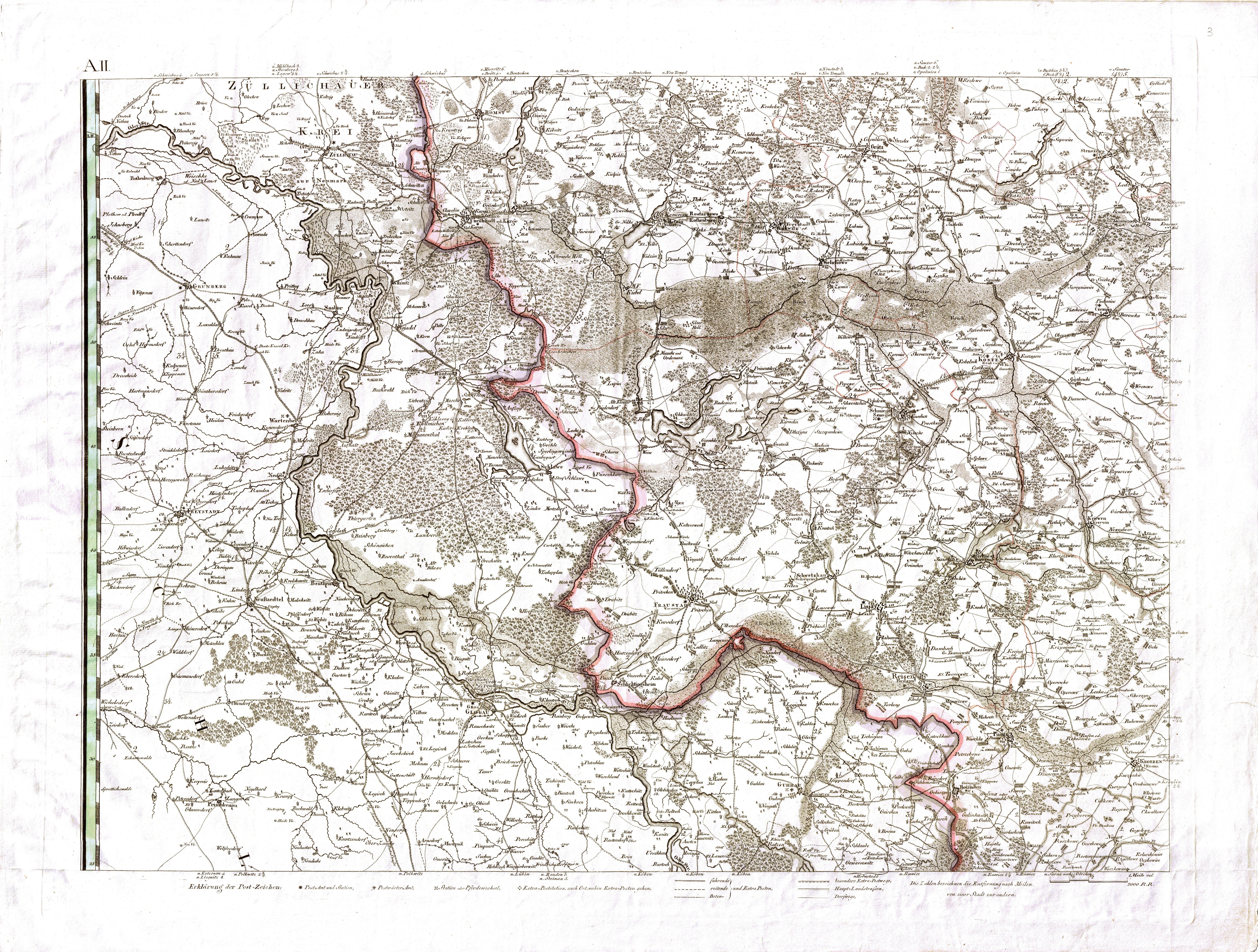
- ↑ a b c d e f g h i j David Gilly : Special map of South Prussia. (1803, accessed May 31, 2020)
- ↑ a b Archive link ( Memento from January 22, 2017 in the Internet Archive )
- ↑ Archive link ( Memento from February 2, 2017 in the Internet Archive )