
Good Lauer
The Good Lauer was a manor in the south of Leipzig , which in the course of the lignite mining was lost.

location
Gut Lauer was located seven kilometers south-southwest of the city center of Leipzig in the Elsteraue on the connecting road from Gautzsch to Knauthain . It was surrounded by moats that connected to the Black Lache (today Paußnitz ). The area around the estate was popularly known as "the Lauer".
history


In 1378 a "Lugrede" is mentioned for the first time, which was subordinate to the "Court before the Harth". In 1513 there is talk of a Vorwerk that apparently belonged to the neighboring Knauthain estate and thus to the Pflugk family. Its name changed from Luwerde (1440) to Lawerde (1488), Lauerde (1508) and Lawerde (1564) to Lauer (1696). It came to the von Dieskau family through the Schönberg family in 1629 , from whom it passed to the von Ponickau family through marriage in 1683 . In 1696 it is no longer referred to as a Vorwerk, but as a manor. In 1729 Adolf von Ponickau sold the estate to Count Ernst Christoph von Manteuffel, Minister of the Electoral Cabinet . In 1749 it belonged to Adam Friedrich von Glafey before it came to the von Hohenthal family in the 19th century .
After there was talk of a deserted village in 1564, the estate only existed as a single estate with an adjoining brickyard. The property was inhabited by an administrator or a tenant and the associated staff, the lordly district forester and the brickworker with their families. Gut Lauer belonged to the Electoral Saxon or Royal Saxon District Office in Leipzig until 1856 , after which it belonged to the Leipzig II Court Office . In 1875 the Leipzig administration came to power . In the same year the estate was incorporated into the district of Gautzsch and in 1920 to Knauthain, with which it came to Leipzig in 1936. However, it was always parish to Markkleeberg-Gautzsch. In 1949 the former Knauthain and Lauer municipal estates were merged to form the state-owned Knauthain estate.
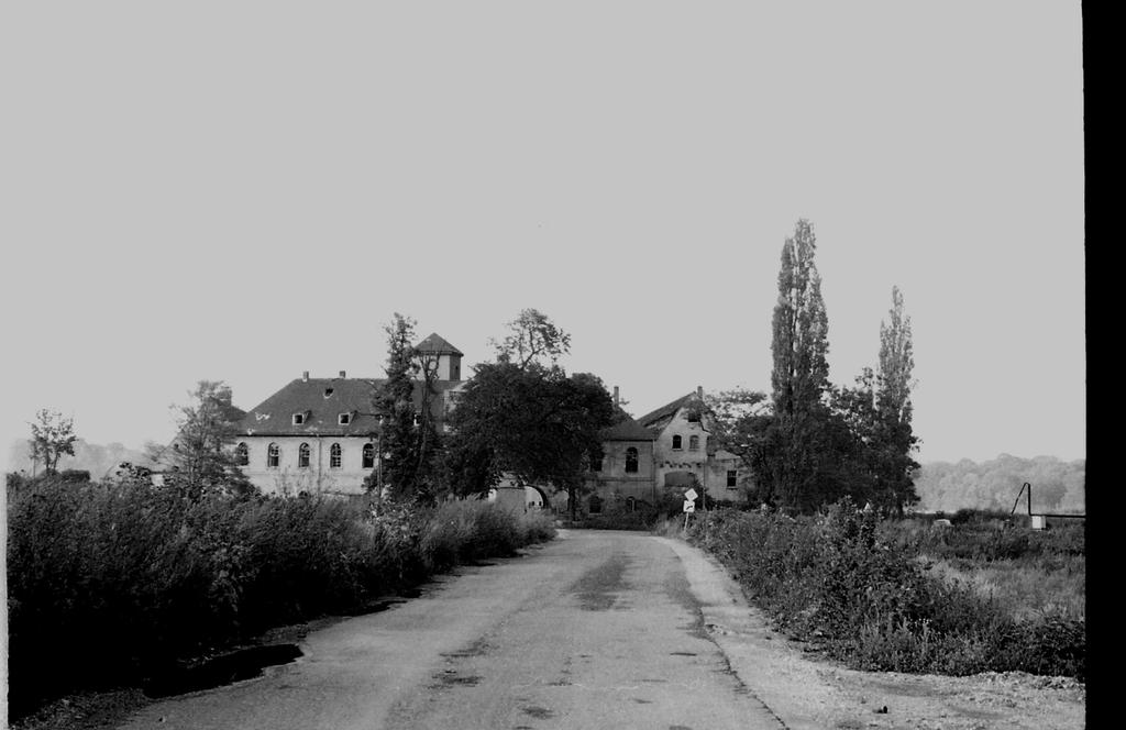
Before the Cospuden opencast mine , a branch of the Zwenkau opencast mine , reached Gut Lauer, it was demolished in 1987 (pictures in web links), and some historically valuable architectural details could be recovered. 43 residents were relocated. After the open-cast mine was closed in 1990, the Cospudener See was built in its place until 2000 , which now covers the area where Gut Lauer once stood.
additional

The home ground of TSG Chemie Markkleeberg was the sports field on the Lauer until 1989 .
In the 1970s, a gravel pit was created in the forest area northeast of the Lauer estate to extract material for the relocation of the F2 / F95 trunk road, from which an artificial swimming lake was created, the name of which was reminiscent of the former estate. In the meantime, the bathing business has switched to the neighboring Cospudener See and the lake is now called " Waldsee Lauer " or "Wolfsee".
The Lehmlache Lauer nature reserve in Leipzig , which is located south of Brückenstraße on the Kelchsteinwiesen, is also reminiscent of the name Lauer .
literature
- Lurking . In: August Schumann : Complete State, Post and Newspaper Lexicon of Saxony. 3rd volume. Schumann, Zwickau 1816, p. 394.
- Cornelius Gurlitt : Lauer. In: Descriptive representation of the older architectural and art monuments of the Kingdom of Saxony. 16. Issue: Amtshauptmannschaft Leipzig (Leipzig Land) . CC Meinhold, Dresden 1894, p. 71.
Individual evidence
- ↑ a b c Gut Lauer in the Digital Historical Directory of Saxony
- ↑ Schlossarchiv.de
- ↑ Poenicke, GA (ed.): Album of the manors and castles in the kingdom of Saxony I. Section: Leipziger Kreis. Leipzig (around 1860)
- ^ Karlheinz Blaschke , Uwe Ulrich Jäschke : Kursächsischer Ämteratlas. Leipzig 2009, ISBN 978-3-937386-14-0 ; P. 60 f.
- ^ Lauer on the website of Markkleeberg
- ^ Protected areas in Leipzig
Web links
- Gut Lauer in the Digital Historical Directory of Saxony
- Image: Gut Lauer 1987
- Image: Gut Lauer during the demolition work in 1987
Coordinates: 51 ° 16 ′ 46 ″ N , 12 ° 20 ′ 16 ″ E