Heidenberg (Odenwald)
| Heidenberg | |||
|---|---|---|---|
| Pass height | 460.7 m above sea level NN | ||
| Neckar-Odenwald district , Baden-Wuerttemberg | |||
| Watershed |
Water ground Galmbach → Itter → Neckar → Rhine |
Turn valley Teufelsbach → Gabelbach → Mud → Main → Rhine |
|
| Valley locations |
Kailbach (to Oberzent ) |
Ernsttal (to Mudau ) |
|
| expansion | across the pass: L 2311 on the ridge of the pass: |
||
| Mountains | Buntsandstein-Odenwald | ||
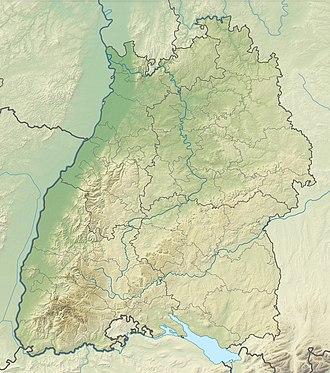
| Map (Baden-Württemberg) | |||
|
|
|||
| Coordinates | 49 ° 33 '5 " N , 9 ° 7' 12" E | ||
The Heidenberg is a ridge and a pass summit in the Odenwald in the west of the municipality of Mudau in the Neckar-Odenwald district in Baden-Württemberg .
Geographical location
The Heidenberg is a conveniently located wooded ridge in the red sandstone Odenwald . The district road K 3919 and the state road L 585 run on its ridge without large height gradients in the area of the pass saddle and thus create the connection between Hesselbach on the other side of the state border in Hesse in the north-west and Schloßau in the south-east. The Neckar-Odenwald-Limes also ran along the ridge of the Heidenberg. The small fort Seitzenbuche secured at 460.7 m above sea level. NHN high saddle of this mountain ridge the Odenwaldpass, which was used by the already existing shortest route between the Main and Neckar . The transition across to the ridge over the saddle on the Seitzenbuche has recently been used by the L 2311 state road, which connects the valley system of the Mud in the northeast with that of the Itter in the southwest via serpentines on both sides .
