Hornburger saddle
| Hornburger saddle | ||
|---|---|---|
| Highest peak | Nameless mountain ( 319.3 m above sea level ) | |
| location | Mansfeld-Südharz ( Saxony-Anhalt ) | |
|
|
||
| Coordinates | 51 ° 29 ′ N , 11 ° 27 ′ E | |
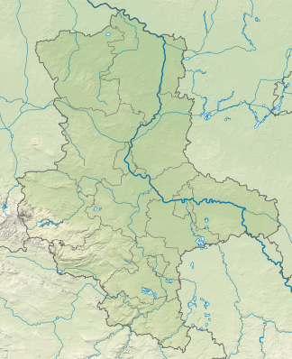
The Hornburger Sattel is a mountain range up to 319 meters high in the district of Mansfeld-Südharz in Saxony-Anhalt ( Germany ).
Geographical location
It is a southeastern branch of the Lower Harz Mountains and extends between Blankenheim in the north, Wolferode near Eisleben in the east, Hornburg in the southeast and Beyernaumburg near Sangerhausen in the west.
Neighboring landscapes are the Lower Harz in the north-west, the Eisleben lowlands in the north-east , the Querfurter Platte in the south and the Helmen lowlands in the west .
In terms of natural areas , according to the handbook of the natural spatial structure of Germany, it is still assigned to the natural area Querfurter Platte and Untere Unstrutplatten of the Thuringian Basin (with edge plates) , directly in the border area to the eastern Harz foreland and the eastern Harz roofing .
geology
The Hornburger Sattel is part of the eponymous plaice of the eastern Harz border, which runs from northwest to southeast. It separates the Sangerhausener Mulde along the Blankenheimer fault in the southwest from Mansfelder Mulde in the northeast. The main types of rock that occur are those of the basement ( Rotliegend ), as well as Zechstein and Buntsandstein . This contains small amounts of uranium with a total uranium reserve of around 400 tons, a small part of which is close to the surface in the sandstone. Extraction by leaching the sandstone by the Wismut company was considered, but this was not considered economical due to the small quantities.
mountains
The most important mountains and elevations, including the northwestern foothills, are:
- nameless mountain (319.3 m), south of Blankenheim
- Gaisberg (approx. 305 m), north of Beyernaumburg
- Hunderücken (approx. 300 m), east of Blankenheim
- nameless mountain (294.1 m), west of Bischofrode
- Talberg (244.7 m), west of Hornburg
particularities
Especially the slopes on the edge of the saddle are wooded, on the hills there are some castle ruins such as Bornstedt Castle . At its southern border which runs A38 , the Federal Highway 180 through it from Eisleben by cross-ford , on the northern edge extending federal highway 80 and the railway line Halle-Kassel .
He was the namesake of the administrative association Am Hornburger Sattel, which existed until 2005 .
Individual evidence
- ↑ a b Map services of the Federal Agency for Nature Conservation ( information )
- ^ E. Meynen and J. Schmithüsen : Handbook of the natural spatial structure of Germany (6th delivery 1959) - Federal Institute for Regional Studies, Remagen / Bad Godesberg 1953–1962 (9 deliveries in 8 books, updated map 1: 1,000,000 with main units 1960)
- ^ D. Franke: Regionalgeologie Ost - Geological online lexicon for East Germany
- ↑ Chronicle of Wismut , quoted in Helmut Tischler: Harzkaleidoskop , accessed on August 25, 2017.

