
Kiel Bay

The Bay of Kiel , in Danish Kiel Bugt , is a bay in the Baltic Sea , in the approximate center of which the Kiel Fjord leads to Kiel . In the west and south it is bordered by the coasts of Schleswig-Holstein , in the southeast by the island of Fehmarn and in the north by the Danish islands of Als , Ærø and Langeland . The border between Germany and Denmark runs in the north-west of the Flensburg Fjord . The Bay of Kiel contains other smaller bays and inlets such as the Schlei , the Eckernförde Bay and the Hohwacht Bay .
The Bay of Kiel is connected to the Bay of Mecklenburg and Lübeck by the Fehmarn Belt ( Kiel-Ostsee-Weg ) and the Fehmarn Sound .
The lighthouse Kiel is located in the central Bay of Kiel . In addition to its function as a beacon for seafaring, there is also a pilot station, a weather station of the German Weather Service (DWD) and a measuring point of the Helmholtz Center for Ocean Research Kiel (GEOMAR) and the Federal Office for Radiation Protection .
According to studies from Germany (as of 2020) there are still around 35,000 tons of ordnance from the Third Reich sunk in the Bay of Kiel.
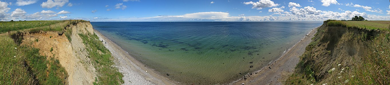
View from the geotope Kliff Schönhagen south of Schönhagen over the Bay of Kiel. The Danish island of Ærø on the horizon on the left

Individual evidence
- ↑ Solveig Grothe, DER SPIEGEL: Sunk ammunition: The arduous search for Hitler's warfare agents - DER SPIEGEL - history. Retrieved May 30, 2020 .
Coordinates: 54 ° 31 ′ 12 ″ N , 10 ° 24 ′ 24 ″ E