Lanzerath (Büllingen)
| Lanzerath | ||
|---|---|---|
|
|
||
| State : |
|
|
| Region : | Wallonia | |
| Province : | Liege | |
| District : | Verviers | |
| Municipality : | Büllingen | |
| Coordinates : | 50 ° 21 ′ N , 6 ° 20 ′ E | |
| Residents: | 181 pop. | |
| Height: | 620 m | |
| Post Code: | 4760 | |
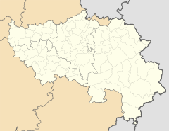
Lanzerath is a district of the large municipality of Büllingen in the German-speaking Community (DG) in eastern Belgium . Lanzerath has 181 inhabitants (as of 2014) and belongs to the Manderfeld sub-community .
geography
Lanzerath is located around 3 kilometers north of the village of Manderfeld and 10 kilometers southeast of the main town of Büllingen. While the surroundings of the village in the north are dominated by dense and extensive forests ( Konnertsbusch and others), the Manderfelder Land, characterized by grassland, joins south of Lanzerath .
history
Lanzerath was founded as a clearing in the wooded area. The oldest written evidence is the register of the Moselle trips (1538) in the form of Lantzrode .
Web links
Commons : Lanzerath - Collection of images, videos and audio files

