Oberoblander felt
Coordinates: 47 ° 50 ′ 6 ″ N , 10 ° 56 ′ 57 ″ E
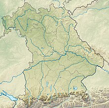
The Oberoblander Filz nature reserve is located in the Peiting market in the Weilheim-Schongau district in Upper Bavaria .
The approximately 51 hectare area with the number NSG-00032.01, which was placed under nature protection in 1940 , extends northeast of the core town of Herzogsägmühle directly on the northern edge of the St 2014. The Filzbach has its source on the southern edge of the area, the Wielenbach flows to the north and the Lech to the west .
See also
Web links
Commons : Oberoblander Filz - Collection of images, videos and audio files


