Seibelseckle
| Seibelseckle | |||
|---|---|---|---|
|
The Seibelseckle ski slope seen from the Hornisgrinde |
|||
| Compass direction | west | east | |
| Pass height | 955.6 m above sea level NHN | ||
| state | Baden-Württemberg | ||
| Watershed | Acher → Rhine | Murg → Rhine | |
| Valley locations | Seebach | Schönmünzach | |
| Motor vehicle lock | East side blocked for cars | ||
| Mountains | Black Forest | ||
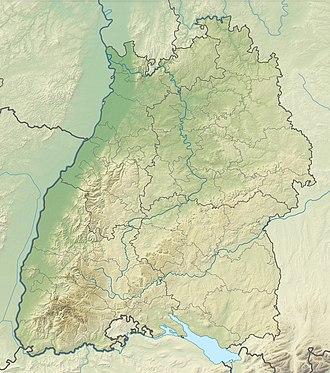
| Map (Baden-Württemberg) | |||
|
|
|||
| Coordinates | 48 ° 35 '46 " N , 8 ° 13' 4" E | ||
The Seibelseckle is a pass height ( 955.6 m above sea level ) in the main ridge of the northern Black Forest . The name also refers to the above it on the north side of the black head located ski slope with lift operation on the Black Forest Road .
Location and surroundings
The pass lies between the Achertal near Seebach , Ortenaukreis , in the west and the Murgtal near the Baiersbronn district of Schönmünzach , Freudenstadt district , in the east. The height is formed by the saddle between the Hornisgrinde ( 1164.4 m above sea level ) in the north and the Schwarzkopf ( 1057.9 m above sea level ) in the south.
The Seibelseckle is touched by the Black Forest High Road ( B 500 ), which follows the course of the mountain ridge here on its western slope and crosses the top of the pass. The actual pass crossing between Murg and Achertal, on the other hand, is closed to motor vehicle traffic on the east side .
To the west of the pass is the Mummelsee , to the south the pass of the Ruhestein .
tourism
summer
The Seibelseckle car park with a small inn or kiosk is located on the western route from Pforzheim to Basel and is the starting point for numerous hikes towards Mummelsee and Hornisgrinde as well as towards Darmstädter Hütte and Ruhestein.
winter
The 500 meter long downhill ski slope begins at the summit of the Schwarzkopf and ends at the top of the pass. The ski slope is equipped with a drag lift, a snow-making system and floodlights. The company belongs to the Seebach community.
The Seibelseckle is located on the 57 kilometer long ski hiking trail from the Roten Lache near Baden-Baden to Freudenstadt . Five cross-country trails also start at the Seibelseckle :
- The Mummelseeloipe, groomed for skating and classic technique , easy, 6 km
- The Ochsenstall-Seibelseckle connection, groomed for skating and classic technique, medium, 3.5 km. (In connection with the 4.5 km long Hundsückenloipe, these two routes create a circular trail around the summit of the Hornisgrinde .)
- The Schwarzkopfloipe, a circular trail groomed for classic technique, medium, 7.5 km
- The Gaiskopfspur, a circular trail groomed for classic technique, difficult, 8.5 km
- The Hinterlangenbach –Seibelseckle circular trail, a trail for classic technique, medium, 8.5 km
Web links
- Seibelseckle ski lift
- General information about the Seibelseckle
- Cross-country trails on the Seibelseckle


