
Selena (Nadwirna)
| Selena | |||
| Зелена | |||
.png)
|
|
||
| Basic data | |||
|---|---|---|---|
| Oblast : | Ivano-Frankivsk Oblast | ||
| Rajon : | Nadvirna district | ||
| Height : | 624 m | ||
| Area : | 4.53 km² | ||
| Residents : | 2,328 (2001) | ||
| Population density : | 514 inhabitants per km² | ||
| Postcodes : | 78433 | ||
| Area code : | +380 3475 | ||
| Geographic location : | 48 ° 32 ' N , 24 ° 22' E | ||
| KOATUU : | 2624082101 | ||
| Administrative structure : | 1 village | ||
| Address: | прис. Хрипелів 1 78433 с. Зелена |
||
| Statistical information | |||
|
|||


Selena ( Ukrainian Зелена ; Russian Зелёная Seljonaja , Polish Zielona ) is a village in the Ukrainian Oblast Ivano-Frankivsk in western Ukraine with about 2,300 inhabitants.
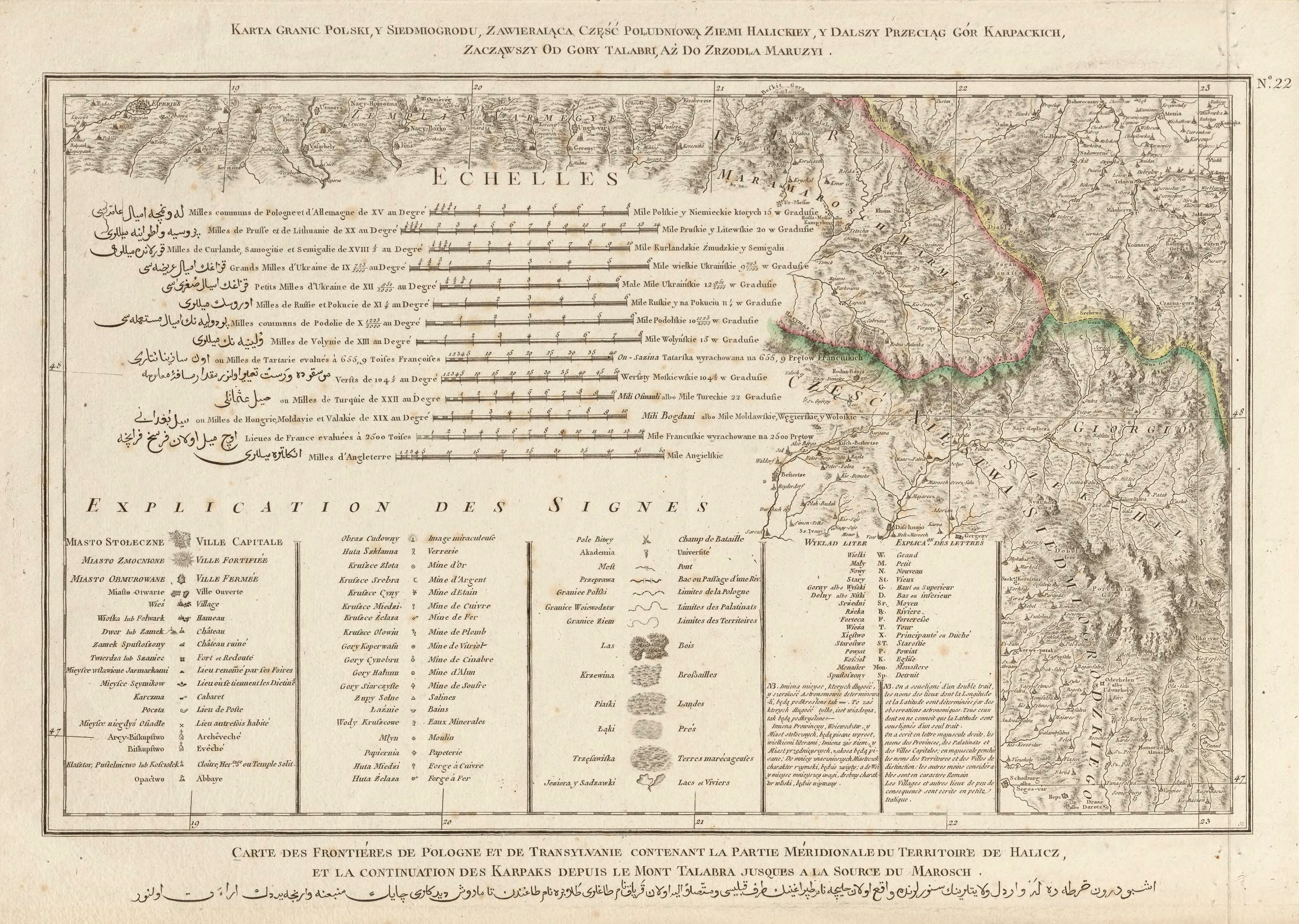
The village is south of the historic landscape of Galicia in the foothills of the Carpathian Mountains at the confluence of the rivers Selenyzja ( Зелениця ) and Chrypeliw ( Хрипелів ) in the Bystrytsia River Nadwirnjanska , about 20 kilometers southwest from Rajonzentrum Nadvirna and 51 kilometers southwest of Oblastzentrum Ivano-Frankivsk away . They, together with the villages Maksymez ( Максимець ) and Tschernyk ( Черник the district municipality of the same name).
The place arose in the first half of the 18th century, was initially in the aristocratic republic of Poland-Lithuania , Ruthenian Voivodeship and came in 1772 as Zelona , later Zielona to the then Austrian crown land of Galicia (until 1918 in the Nadwórna district ).
After the end of the First World War he came to Poland , was here from 1921 as Zielona in the Stanislau Voivodeship , Powiat Nadwórna as the main town of Gmina Zielona and was only occupied by the Soviet Union during World War II and from 1941 to 1944 by Germany and the district Galicia attached. After being reconquered by Soviet troops in 1944, it came back to the Soviet Union in 1945 and was incorporated into the Ukrainian SSR , since 1991 the place has been part of today's Ukraine.
Between 1897 and 1968, the Nadwirna forest railway ran from the Sighetu Marmației – Ivano-Frankivsk near Nadwirna railway through the village and further through the Bystryzja valley in a southerly direction into the Carpathian forests.
Web links
- Entry on the place in the Encyclopedia of the History of Cities and Villages of the Ukrainian SSR (Ukrainian)
- Zielona . In: Filip Sulimierski, Władysław Walewski (eds.): Słownik geograficzny Królestwa Polskiego i innych krajów słowiańskich . tape 14 : Vorovo – Żyżyn . Walewskiego, Warsaw 1895, p. 598 (Polish, edu.pl ).