
Serednij Majdan (Nadwirna)
| Seredny Majdan | |||
| Середній Майдан | |||
.png)
|
|
||
| Basic data | |||
|---|---|---|---|
| Oblast : | Ivano-Frankivsk Oblast | ||
| Rajon : | Nadvirna district | ||
| Height : | 384 m | ||
| Area : | 26.406 km² | ||
| Residents : | 874 (2001) | ||
| Population density : | 33 inhabitants per km² | ||
| Postcodes : | 78450 | ||
| Area code : | +380 3475 | ||
| Geographic location : | 48 ° 38 ' N , 24 ° 45' E | ||
| KOATUU : | 2624086401 | ||
| Administrative structure : | 1 village | ||
| Address: | вул. Українська 65 78 450 с. Середній Майдан |
||
| Statistical information | |||
|
|||


Serednij Majdan (Ukrainian Середній Майдан ; Russian Средний Майдан / Sredni Maidan , Polish Majdan Średni ) is a village in the Ukrainian Oblast Ivano-Frankivsk in western Ukraine with about 800 inhabitants.

The village is located in the south of the historical Galicia on the Obrashchyna river (Обрашина), about 14 kilometers east of the Rajon center Nadvirna and 31 kilometers south of the Oblast center Ivano-Frankivsk . He joined the August 13, 2018 administratively to the village community Lantschyn , before it formed together with the villages Hlynky (Глинки) and Wyschniwzi (Вишнівці) the district municipality of the same name.
The place was mentioned in writing for the first time in 1679, was initially in the aristocratic republic of Poland-Lithuania , Ruthenian Voivodeship and came in 1772 as Zredni Maydan , later Majdan Średni to the then Austrian crown land of Galicia (until 1918 in the Nadwórna district ).
After the end of World War I he came to Poland was in 1921 here as Majdan Średni in the province Stanislau , Powiat Nadwórna as the capital of Gmina Majdan Średni incorporated and was in World War II until the Soviet Union and from 1941 to 1944 by Germany occupied and attached to the district of Galicia . After being reconquered by Soviet troops in 1944, it came back to the Soviet Union in 1945 and was incorporated into the Ukrainian SSR , since 1991 the place has been part of today's Ukraine.
Web links
- Entry on the place in the Encyclopedia of the History of Cities and Villages of the Ukrainian SSR (Ukrainian)
- Majdan Średni . In: Filip Sulimierski, Władysław Walewski (eds.): Słownik geograficzny Królestwa Polskiego i innych krajów słowiańskich . tape 5 : Kutowa Wola – Malczyce . Walewskiego, Warsaw 1884, p. 914 (Polish, edu.pl ).
Individual evidence
- ↑ Відповідно до Закону України "Про добровільне об'єднання територіальних громад" в іІвано-уромад "в іІвано-уроконя" в ісймад "в ісймад уранкінусймад україни
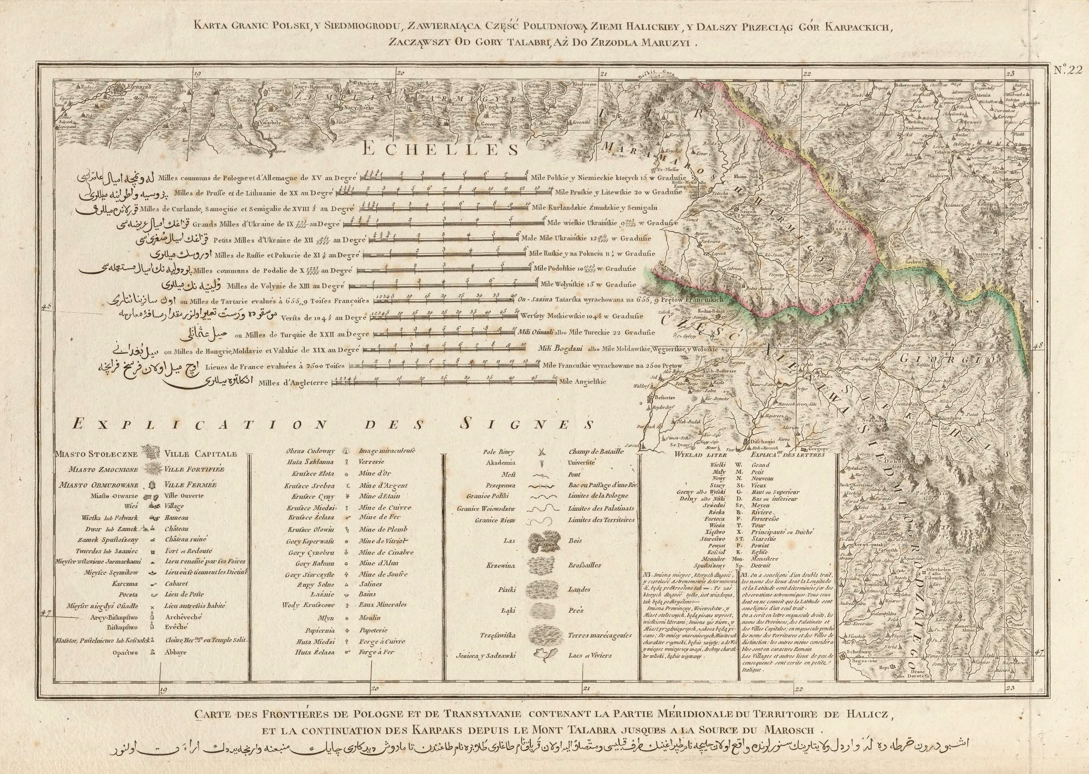
- ↑ Rizzi Zannoni, Karta granic Polski, y Siedmiogrodu, zawieraiąca część południową ziemi Halickiey y dalszy przeciąg gór Karpackich, zacząwszy od góry Talabri aż do zrzodła Maruzyi .; 1772