Texel group
| Texel group | ||
|---|---|---|
|
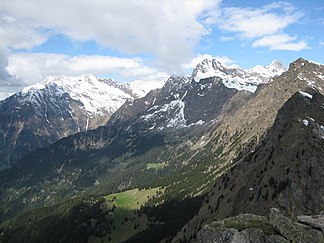
Summit of the southern Texel group seen from the Mutspitze , including Zielspitze , Tschigat and Lodner |
||
| Highest peak | Roteck ( 3337 m slm ) | |
| location | South Tyrol ( Italy ) | |
| part of | Ötztal Alps | |
|
|
||
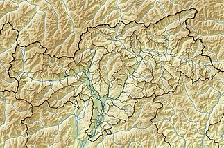
| Coordinates | 46 ° 44 ′ N , 11 ° 4 ′ E | |
The Texel Group is a subgroup of the Ötztal Alps in South Tyrol , Italy . It is fully protected in the Texel Group Nature Park .
In the south the group is bordered by the Vinschgau with the Etschtal , in the east by the Passeier valley and in the west by the Schnalstal . The border to the Schnalskamm in the north forms the Pfossental west of the Eisjöchl. To the northeast of it, the Pfelder Valley separates the Texel Group from the Gurgler Kamm . The highest elevation of the Texel group is the Roteck with 3337 m slm , other peaks are the Texelspitze ( 3318 m ), the Hochweiß ( 3281 m ), the Trübwand ( 3266 m ), the Tschigat ( 2998 m ) or the Spronser Rötelspitze ( 2625 m ) .
The Texel Group is internally structured by several high mountain valleys, of which the Zieltal , Spronser Tal , Kalmtal and Lazinser Tal are the most important.
The approximately 90 km long Meraner Höhenweg leads around the Texel Group and can be climbed in three to six days.

