Urutawa Conservation Area
| Urutawa Conservation Area | ||
| Geographical location | ||
|
|
||
| Coordinates | 38 ° 9 ′ S , 177 ° 28 ′ E | |
| Country : | New Zealand | |
| Region (s) : | Bay of Plenty | |
| Protected area | ||
| Protected area type: | Conservation Area | |
| expansion | ||
| Number of areas: | 1 | |
| Length : | 5.5 km | |
| Width : | 2.5 km | |
| Area : | ~ 25 km² | |
| Rivers : | Pakihi Stream | |
| The Office Department of Conservation | ||
| Office: |
Whakatane Office 1/100 Valley Road Whakatane |
|
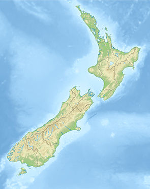
The Urutawa Conservation Area is a protected area in the Bay of Plenty region on the North Island of New Zealand . The area is subordinate to the Department of Conservation .
geography
The approximately 5.5 km long and up to 2.5 km wide area of the stretches along Pakihi streams into a NNW-SSE direction and is located approximately 20 km south-east of the district administration town Opotiki , in the eastern part of the Bay of Plenty to is found. About 20 km west of the Conservation Area , the New Zealand State Highway 2 runs from the north of Ōpōtiki in a southerly direction.
Pakihi Track
The Pakihi Track , created in 1905, which is accessible on the northern side of Ōpōtiki in the northwest and from the south of Motu from one road each, leads in the northern part along the Pakihi Stream and over the Pakihi Hut and in the southern part across the Protected area.
The hiking trail, which was not expanded until December 2010 and 25 new bridges were built on it, attracts around 3,000 hikers and mountain bikers every year.
Web links
- Urutawa Conservation Area . Department of Conservation,accessed April 11, 2020.
