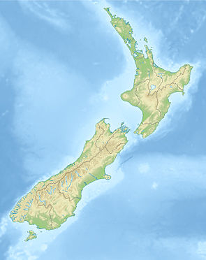
Tenehaun Conservation Area
| Tenehaun Conservation Area | ||
| Geographical location | ||
|
|
||
| Coordinates | 43 ° 43 ′ S , 171 ° 13 ′ E | |
| Country : | New Zealand | |
| Region (s) : | Canterbury | |
| Location: | northwest of Ashburton , on the northwest end of the Canterbury Plains | |
| Protected area | ||
| Protected area type: | Conservation Area | |
| expansion | ||
| Number of areas: | 4th | |
| Length : | 6.0 km | |
| Width : | Max. 3.1 km | |
| Mountains : | Moorhouse Range | |
| Rivers : | Moorhouse Stream | |
| The Office Department of Conservation | ||
| Office: |
Raukapuka / Geraldine Office 13 - 15 North Terrace Geraldine 7930 |
|
| Photography from the Conservation Area | ||
 View in south direction of the mountain range |
||
The Tenehaun Conservation Area is a protected area in the Canterbury region of the South Island of New Zealand . The area is under the Department of Conservation .
geography
The Tenehaun Conservation Area is located in the mountains of the Moorhouse Range , approximately 47 km northwest of Ashburton at the northwest end of the Canterbury Plains and consists of a large contiguous area and three other small areas on its southwest side. It extends in a southeast-northwest direction over a length of around 6 km and measures 3.1 km at its widest point. The Rangitata River passes the area on its southwest side. The 1378 m high Mount Tripp borders the northern end and the 1145 m high Mount Pukanui borders the southern end of the reserve.
The area can be accessed from the southeast via Hinds Gorge Road , which branches off from Inland Scenic Tourism Road 72 about 15 km southeast at Mayfield .
history
The Tenehaun Conservation Area was taken over by the Moorhouse brothers in 1854 and used as pasture for sheep from 1889.
vegetation
The mountains of the Moorhouse Range are covered with short-leaved tussock grass. Bushes and smaller trees only occur on small streams or depressions.
Web links
- Tenehaun Conservation Area . Department of Conservation,accessed April 26, 2020.
Individual evidence
- ↑ Tenehaun Conservation Area . Department of Conservation , accessed April 26, 2020 .
- ↑ Coordinates and longitudes were determined using Goggle Earth Pro Version 7.3.2.5776 on April 26, 2020
- ↑ Topo maps . Land Information New Zealand , accessed April 23, 2020 .
- ^ New Zealand Touring Atlas . 5th edition. Hema Maps , Brisbane 2015, ISBN 978-1-907302-92-3 , pp. Map 61 (English).
