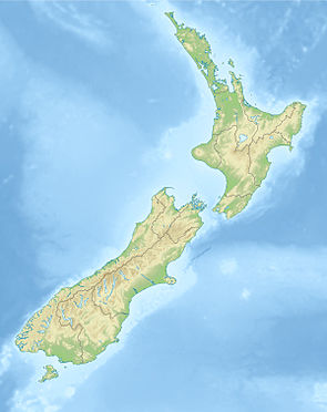
North Opuha Conservation Area
| North Opuha Conservation Area | ||
| Geographical location | ||
|
|
||
| Coordinates | 43 ° 48 ′ S , 170 ° 51 ′ E | |
| Country : | New Zealand | |
| Region (s) : | Canterbury | |
| Protected area | ||
| Protected area type: | Conservation Area | |
| expansion | ||
| Number of areas: | 1 | |
| Area : | 20 km² | |
| Mountains : | Ben McLeod Range | |
| Rivers : | North Opuha River , Phantom River | |
| The Office Department of Conservation | ||
| Office: |
Raukapuka / Geraldine Office 13 - 15 North Terrace Geraldine 7930 Te Manahuna / Twizel Office 15 Wairepo Road Twizel 7901 |
|
| Remarks | ||
| Is part of the Te Kahui Kaupeka Conservation Park | ||
The North Opuha Conservation Area is a protected area in the Canterbury region of the South Island of New Zealand . The area is under the Department of Conservation .
geography
The approximately 2000 hectare area of the North Opuha Conservation Area is located in the mountains of the southwestern part of the Ben McLeod Range , around 24 km east of Lake Tekapo .
Although designated as an independent area, it is now part of the Te Kahui Kaupeka Conservation Park .
literature
- Department of Conservation (Ed.): Te Kahui Kaupeka Conservation Park . Twizel May 2014 (English, Online [PDF; 1.4 MB ; accessed on February 26, 2020]).
Web links
- North Opuha Conservation Area . Department of Conservation,accessed April 26, 2020.
- KiwiExplorer : North Opuha Track - North Opuha Conservation Area, Canterbury NZ . (video 1:37 min) Youtube , January 31, 2016, accessed on April 26, 2020 (English).
