Kaharoa Conservation Area
| Kaharoa Conservation Area | ||
| Geographical location | ||
|
|
||
| Coordinates | 37 ° 56 ′ S , 176 ° 19 ′ E | |
| Country : | New Zealand | |
| Region (s) : | Bay of Plenty | |
| Location: | 12 km north of Rotorua | |
| Protected area | ||
| Protected area type: | Conservation Area | |
| expansion | ||
| Number of areas: | 1 | |
| Length : | 3.5 km | |
| Width : | 1.5 km | |
| Area : | 9.76 km² | |
| Rivers : | Paraiti River , Onaia Stream | |
| The Office Department of Conservation | ||
| Office: |
Rotorua Office 99 Sala Street Rotorua 3010 |
|
The Kaharoa Conservation Area is a protected area in the Bay of Plenty region on the North Island of New Zealand . The area is subordinate to the Department of Conservation .
geography
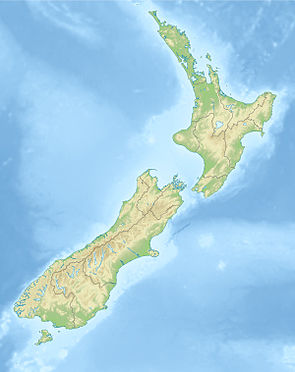
The 976 hectare (another source states 705 hectares) forested area is located approximately 12 km north of Rotorua and approximately 4.5 km west of New Zealand State Highway 33 . It extends in a southwest-northeast orientation over around 3.5 km and comes to a maximum width of around 1.5 km. On its western side the Paraiti River flows past and to the east the area is bounded by the Onaia Stream .
history
The Kaharoa Conservation Area forest was purchased by the New Zealand government in 1896 and was selectively used for logging until the mid-1900s.
In 1989 and 1997 the area subject of scientific studies, it was found among those that the native to the area Kōkako by the entrained from Europe to the country house and Norway rats , as well as possums was put at risk. As a result, the Kaharoa Kōkako Trust was founded in 1997 among the residents of the area , with the aim of securing and protecting the population of the birds.
On the north island of the country where the kōkako is native, the population was estimated at 1,400 birds in 2013. In the Kaharoa Conservation Area, on the other hand, it increased from 22 to 173 from 1991 to 2015.
literature
- Natural Heritage Areas . A guide to their care and protection . Bay of Plenty Regional Council , Whakatane August 2003 (English, booklet).
Web links
- Kaharoa Conservation Area . Department of Conservation,accessed April 11, 2020.
Individual evidence
- ↑ a b Natural Heritage Areas . 2003, p. 20 .
- ↑ a b c About Kaharoa . Kakako Trust , accessed April 11, 2020 .
- ↑ Coordinates and longitudes were determined using Goggle Earth Pro Version 7.3.2.5776 on April 11, 2020
- ↑ Topo maps . Land Information New Zealand , accessed April 11, 2020 .
- ↑ Kaharoa Conservation Area . In: stuff events . Fairfax Media , 2013, accessed April 11, 2020 .
- ↑ Shauni James : Kaharoa Kōkako Trust shares its success and work at U3A forum . In: New Zealand Herald . NZME. Publishing Limited , October 19, 2018, accessed April 11, 2020 .
