Albert Burn Conservation Area
| Albert Burn Conservation Area | ||
| Geographical location | ||
|
|
||
| Coordinates | 44 ° 19 ′ S , 168 ° 58 ′ E | |
| Country : | New Zealand | |
| Region (s) : | Otago | |
| Location: | west of Lake Wanaka in the New Zealand Alps | |
| Protected area | ||
| Protected area type: | Conservation Area | |
| expansion | ||
| Number of areas: | 1 | |
| Length : | 20 km | |
| Width : | 12.5 km | |
| Area : | approx. 125 km² | |
| Mountains : | Part of the New Zealand Alps | |
| Lakes : | adjacent to the east is Lake Wanaka | |
| Rivers : | Albert Burn , Craigie Burn | |
| The Office Department of Conservation | ||
| Office: |
Tititea / Mount Aspiring National Park Visitor Center 1 Ballantyne Road Wanaka 9305 |
|
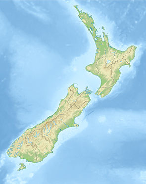
The Albert Burn Conservation Area is a protected area in the Otago region of the South Island of New Zealand . The area is under the Department of Conservation .
geography
The area of the Albert Burn Conservation Area extends to the northwest of Lake Wanaka , adjoining it to the west for around 20 km in a southwest-northeast direction and over a maximum width of 12.5 km in an east-west direction, with two branches along the Craigie Rivers Burn and Albert Burn . Both branches of the park extend for around 7 km in an easterly direction almost to Lake Wanaka .
Web links
- Albert Burn Conservation Area . Department of Conservation,accessed May 4, 2020.
