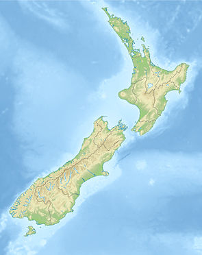
Pisa Conservation Area
| Pisa Conservation Area | ||
| Geographical location | ||
|
|
||
| Coordinates | 44 ° 53 ' S , 169 ° 9' E | |
| Country : | New Zealand | |
| Region (s) : | Otago | |
| Location: | 10 km south of Lake Wanaka | |
| Protected area | ||
| Protected area type: | Conservation Area | |
| expansion | ||
| Number of areas: | 1 | |
| Length : | approx. 36 km | |
| Width : | Max. 12 km | |
| Area : | 230 km² | |
| Mountains : | Part of the Criffel Range and part of the Pisa Range | |
| The Office Department of Conservation | ||
| Office: |
Tititea / Mount Aspiring National Park Visitor Center 1 Ballantyne Road Wanaka 9305 |
|
The Pisa Conservation Area is a protected area in the Otago region on the South Island of New Zealand . The area is under the Department of Conservation .
geography
The 23,000 hectare large area of Pisa Conservation Area extends 10 km south of Lake Wanaka over a length of 36 km in a southwest-northeast direction. The area, which well km crap on his breitesten point 12, located on the west side between the top layers of the Criffel Range in the northern area, the Waiorau Snow Farm in the central region and east of Cardrona River in the southern area and the eastern slopes of the Pisa Range on its east side. The southwestern tip of the reserve is bounded by the Kawarau River . In the northwest the area extends to just before the 1282 m high Criffle Peak and in the northeast to around 8 km south of the small settlement Luggate , which is located directly on New Zealand State Highway 6 .
Web links
- Pisa Conservation Area . Department of Conservation,accessed May 8, 2020.
- Map . Department of Conservation,accessed May 8, 2020.
Individual evidence
- ^ Pisa Conservation Area . Department of Conservation , accessed May 8, 2020 .
- ↑ Coordinates and longitudes were determined using Goggle Earth Pro Version 7.3.2.5776 on May 8, 2020
- ↑ Topo maps . Land Information New Zealand , accessed May 8, 2020 .
- ↑ Map . Department of Conservation , accessed May 8, 2020 .
