Waidhof (Inzlingen)
| Waidhof (Inzlingen) | |||
|---|---|---|---|
|
Aerial photo of the Waidhof (pass) and the Lörrach-Ost motorway junction from 1996 |
|||
| Compass direction | west | east | |
| Pass height | 450 m above sea level NHN | ||
| state | Baden-Württemberg | ||
| Valley locations | Loerrach | Degerfelden | |
| expansion | L141 / |
||
| Mountains | Dinkelberg | ||
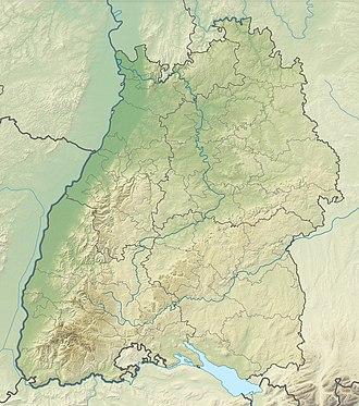
| Map (Baden-Württemberg) | |||
|
|
|||
| Coordinates | 47 ° 36 '1 " N , 7 ° 42' 9" E | ||
The Waidhof is 450 m above sea level. NHN high pass crossing between Lörrach and Degerfelden, a district of Rheinfelden . At the same time, the farm of the same name, which belongs to Inzlingen , is on the top of the pass . The district boundary between Lörrach and Inzlingen runs around 200 meters north of the pass.
profile
On the west ramp that begins in Lörrach, the Waidhof pass crossing overcomes a distance of 3.8 kilometers, 153 vertical meters, which corresponds to an average gradient of 4.0%. The ramp leads from Wallbrunnstraße in Lörrach through the eastern part of the city, framed by the Hünerberg in the north and the Skull Mountain in the south. After about 800 meters the road branches off towards Salzert . The pass arches past the Trabantensiedlung to the Lörrach-Ost motorway junction of the A 98 . At the junction the street name changes: The state road 141 leading from Lörrach changes to federal road 316 , which is part of the European road 54 .
The Waidhof stud farm, a state-approved training company for horses and riders, is located at the top of the pass. In addition, the Waidhof equestrian club is located on the farm and holds horse tournaments and other equestrian events on the premises.
The east ramp extends over 5.1 kilometers and also overcomes a height of 153 meters, which corresponds to an average gradient of 3%. A few hundred meters after the top of the pass, the eastern pass road leads in a southern junction to Inzlingen . The junction, known as the Inzlinger Kreuz, was known to be a frequent accident black spot in the past. In a curvy route, the pass road initially runs partially parallel to the northern A 98. From the road you can see the Dultenaugrabenbrücke , which is part of the motorway section. The east ramp leads past the Hagenbacher Hof for about half of the route . After an inn, after a few hundred meters you will come to the western entrance of Degerfelden.
Others
On July 20, 2000, the 87th Tour de France passed through Lörrach, which was accompanied by thousands of fans on the roadside. The 17th stage from Lausanne to Freiburg im Breisgau led from Switzerland via Waidhof through downtown Lörrach up to Lucke and then via Kandern to the stage destination Freiburg. The Waidhof was classified as category 3 (“easy”) due to its comparatively short length and incline.
Web links
- Regional information system for Baden-Württemberg (LeoBW): Waidhof - living space - archive material
Individual evidence
- ↑ Information on the Waidhof stud , last accessed on June 5, 2019
- ^ Badische Zeitung : "Inzlinger" Kreuz Unfallschwerpunkt , article from April 20, 2001, last accessed on June 5, 2019
- ↑ Route profile of the 87th Tour de France (2000)
- ↑ Spiegel Online : The Breisgau is crazy , article from July 19, 2000, last accessed on June 5, 2019

