Ziegelroda Forest
| Ziegelroda Forest | ||
|---|---|---|
| Highest peak | Nameless mountain ( 298.4 m above sea level ) | |
| location | Districts of Saale and Mansfeld-Südharz ( Saxony-Anhalt ) , Kyffhäuser ( Thuringia ) - Germany | |
| part of | Lower Unstrut mountain and hill country , Thuringian Basin (with edge plates) | |
| Classification according to | Handbook of the natural spatial structure of Germany | |
|
|
||
| Coordinates | 51 ° 21 ' N , 11 ° 27' E | |
| rock | Red sandstone | |
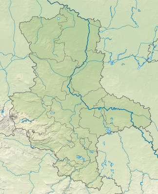
The Ziegelrodaer Forst is a forest area of around 8,200 hectares, mostly in Saxony-Anhalt , on the border with Thuringia . It extends from the city of Nebra an der Unstrut in the southeast to Allstedt in the northwest. The largest extension in north-south direction is about 18 km, in east-west direction 12 km. It is named after the village located in a large clearing in the center of the forest. Ziegelroda has been a district of Querfurt since 2004 . Most of the area is part of the Saale-Unstrut-Triasland nature park .
Nature and geography
The forest is located on the Ziegelrodaer red sandstone plateau, which connects to the west of the Querfurt plate . In terms of nature , it is assigned to the Lower Unstrut mountain and hill country .
The undulating landscape, traversed by valley cuts, reaches heights of up to 298.4 m (nameless mountain north of Ziegelroda) above NN. On the southern edge, such as B. In the nature reserve " Steinklöbe " the terrain drops steeply to the valley of the Unstrut up to a height of 120 m above sea level.
Further elevations and mountains are according to height:
- Kahler Berg (296.2 m), near Landgrafroda
- nameless mountain (291.3 m), north of Landgrafroda
- Sandberg (286.3 m), south of Ziegelroda
- Teichberg (263.1 m), west of Weissenschirmbach
- Mittelberg (252.2 m), northwest of Wangen
About 80% of the tree population consists of deciduous forest, which is dominated by sessile oak and red beech. Red deer, wild boar and roe deer can be found in the forest.
Natural flowing waters in the north of the area are the Querne , the Schmoner Bach and the Kriebitschbach. The southern part of the forest is characterized by dry valleys .
history
The entire area is rich in prehistoric land monuments. There are z. B. Traces of Neolithic and Bronze Age graves as well as remains of ramparts . Mittelberg , located in the south of the forest, was known as the site of the Nebra sky disk . Not far from there has been the associated information and visitor center Arche Nebra in the village of Wangen since 2007 .
The proximity to the Kaiserpfalz Memleben suggests that the area was already used for hunting in the Middle Ages. Reports indicate that the forest was the hunting ground of the dukes of Saxony-Weissenfels since the 17th century at the latest. Witnesses from this time are the so-called Prinzenhäuschen built as a hunting lodge with the year 1728, as well as the Prinzenstein from 1907. After the Congress of Vienna in 1815 the southeastern part came to Prussia and was a royal forest until 1918. The northwest belonged to the Grand Duchy of Saxony-Weimar-Eisenach.
Transport and tourism
The forest is accessible with signposted forest and hiking trails. On the southern edge there is a stop of the Unstrutbahn Naumburg - Artern in Wangen .
The airfield Allstedt on the northwestern edge was until 1992 a Soviet military airfield.
literature
- The area on the lower Unstrut (= values of our homeland . Volume 46). 1st edition. Akademie Verlag, Berlin 1988, pp. 113-118.
- Saale-Unstrut-Triasland Nature Park eV: Saale-Unstrut Triasland Nature Park. The hiking atlas. , Nebra 1997, ISBN 3-9806006-3-7
Individual evidence
- ^ E. Meynen and J. Schmithüsen : Handbook of the natural spatial structure of Germany (6th delivery 1959) - Federal Institute for Regional Studies, Remagen / Bad Godesberg 1953–1962 (9 deliveries in 8 books, updated map 1: 1,000,000 with main units 1960)
- ↑ Map services of the Federal Agency for Nature Conservation ( information )


