
Bado-Ho'o
| Bado-Ho'o | |||

|
|||
| Data | |||
| surface | 33.02 km² | ||
| population | 2,664 (2015) | ||
| Chefe de Suco | Marcos António Ximenes (election 2016) |
||
| Aldeias | Population (2015) | ||
| Uaibobo | 767 | ||
| Uaicana | 368 | ||
| Uataula | 455 | ||
| Uatubela Oli | 619 | ||
| Uma Ana Ico | 455 | ||
|
|||

Bado-Ho'o ( Bado Ho'o , Bodohoo ) is an East Timorese place and Suco in the administrative office of Venilale ( municipality of Baucau ).
The place
The place Bado-Ho'o is located in the northwest of the Sucos, at an altitude of 556 m .
The Suco
| Bado-Ho'o | ||
| places | position | height |
| Bado-Ho'o | 8 ° 36 ' S , 126 ° 24' E | 556 m |
| Cailoibere | 8 ° 36 ' S , 126 ° 28' E | 260 m |
| Lacouma | 8 ° 35 ' S , 126 ° 27' E | 204 m |
| Neo-Ho'o | 8 ° 36 ' S , 126 ° 24' E | 556 m |
| Uaibobo | 8 ° 38 ' S , 126 ° 26' E | 300 m |
| Uaicana | 8 ° 39 ′ S , 126 ° 26 ′ E | 327 m |
| Uaitoco | 8 ° 38 ' S , 126 ° 27' E | 312 m |
| Uma Ana Ico | 8 ° 38 ' S , 126 ° 23' E | 815 m |
Bado-Ho'o has 2664 inhabitants (2015), of which 1383 are men and 1281 women. The population density is 80.7 inhabitants / km². There are 506 households in the Suco. About 30% of the residents state Midiki as their mother tongue, a little less Kairui and just under 5% Waimaha . These all belong to the Kawaimina languages. A little less than 30% speak Makasae , just under 10% Tetum Prasa .
Before the 2015 territorial reform, Bado-Ho'o had an area of 22.47 km². Now it is 33.02 km². The Suco is divided into two separate territories. The C-shaped northern part lies in the north of the administrative office Venilale. To the north is the Suco Uma Ana Ulo and in the northeast Bado-Ho'o borders the Baucau administrative office with its Suco Uailili . To the west and east are the two parts of the Sucos Baha Mori . In the south, the narrow strip of sucos Uatu Haco separates the northern part of Bado-Ho'o from the southern part of sucos. It is bordered by Suco Uailaha in the west , Suco Uai Oli in the south and the Ossu (municipality of Viqueque ) with its Sucos Nahareca and Uaibobo in the east . The Cainame , a tributary of the Seiçal, has its source in North Bado-Ho'o . The Cainame flows eastwards and forms part of the border with Baha Mori until it meets the Seiçal at the border with Baucau, which then follows the border to the north. Along the southern border of the southern part Bado-Ho'os flowing Buihiu that in the eastern border river, the Sauma flows. The Sauma is also a tributary of the Seiçal.
The village of Lacouma is located on the northern tip of the "C" . Further west are the villages of Bado-Ho'o and Neo-Ho'o ( Neohoo , Noohoo ). In the southwest of the northern part is the place Uma Ana Ico ( Umaanaico , Uma-Anaico ), a suburb of the administrative capital Venilale . The villages of Uaitoco and Uaibobo (Uai Bobo) are located in the C-southern tip . Only the village of Uaicana is located in the southern part of Sucos . There are primary schools in Neo-Ho'o and Uaicana. The settlement of Cailoibere in the far east came from Suco Uaibobo to Bado-Ho'o with the 2015 territorial reform. There is a medical station here.
In the Suco there are the five Aldeias Uaibobo , Uaicana , Uataula , Uatubela Oli and Uma Ana Ico . While maps indicate that Neo-Ho'o is in Bado-Ho'o and Uatubela Oli is in Suco Baha Mori, according to the official government document, the Aldeias are in the other Suco.
politics
In the elections of 2004/2005 was Manuel Soares Guterres elected Chefe de Suco and in 2009 re-elected. In the elections in 2016 won Marcos António Ximenes .
Web links
- Results of the 2010 census for the Suco Bado-Ho'o ( tetum ; PDF; 8.22 MB)
- Results of the 2015 census for the Suco Bado-Ho'o (tetum; PDF)
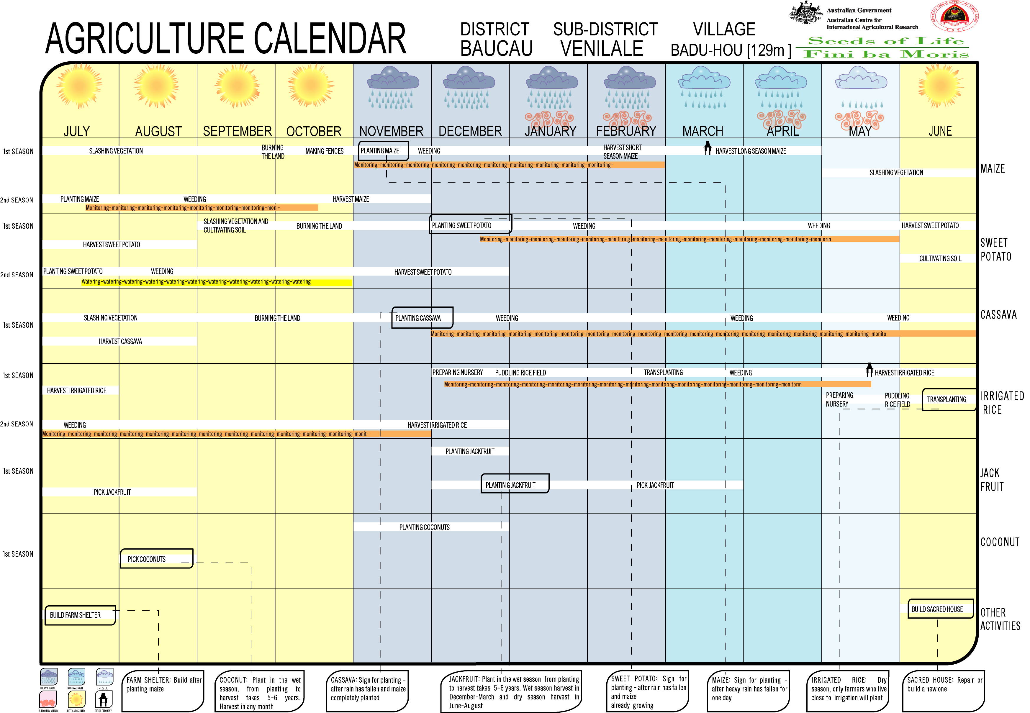
- Seeds of Life: Agriculture Calendar (English)
- Seeds of Life: Suco information sheets Venilale (tetum)
Individual evidence
- ↑ a b c d Direcção-Geral de Estatística : Results of the 2015 census , accessed on November 23, 2016.
- ↑ a b c d Timor-Leste GIS Portal ( Memento from June 30, 2007 in the Internet Archive )
- ↑ Fallingrain.com: Directory of Cities, Towns, and Regions in East Timor
- ↑ Results of the 2010 census for the Suco Bado-Ho'o ( Tetum ; PDF file; 8.22 MB)
- ↑ Direcção Nacional de Estatística: Population Distribution by Administrative Areas Volume 2 English ( Memento of the original from January 5, 2017 in the Internet Archive ) Info: The archive link has been inserted automatically and has not yet been checked. Please check the original and archive link according to the instructions and then remove this notice. (2010 census; PDF; 22.6 MB)
- ↑ a b UNMIT: Timor-Leste District Atlas version 02, August 2008 ( Memento of the original dated December 3, 2011 in the Internet Archive ) Info: The archive link was inserted automatically and has not yet been checked. Please check the original and archive link according to the instructions and then remove this notice. (PDF file; 488 kB)
- ^ Map of the Venilale Administration Office, Ministry of State Administration, 2015.
- ↑ a b Jornal da Républica with the Diploma Ministerial n. ° 199/09 ( Memento of February 3, 2010 in the Internet Archive ) (Portuguese; PDF file; 315 kB)
- ↑ Secretariado Técnico de Administração Eleitoral STAE: Eleições para Liderança Comunitária 2004/2005 - Resultados ( Memento of August 4, 2010 in the Internet Archive )
- ↑ Secretariado Técnico de Administração Eleitoral STAE: Eleições para Liderança Comunitária 2009 - Resultados ( Memento of August 4, 2010 in the Internet Archive )
- ↑ Jornal da República: Lista Naran Xefe Suku Eleito 2016 , December 2, 2016 , accessed on June 17, 2020.
Bado-Ho'o | Baha Mori | Fatulia | Uailaha | Uai Oli | Uatu Haco | Uma Ana Ico | Uma Ana Ulo
![]() Map with all coordinates: OSM | WikiMap
Map with all coordinates: OSM | WikiMap
The administrative borders within East Timor changed in 2015. This article must therefore be checked and updated if necessary. See New Administrative Boundaries .