Dienstedter karst cave
| Dienstedter karst cave
|
||
|---|---|---|
|
In the cave |
||
| Location: | Dienstedt | |
| Height : | 340 m | |
|
Geographic location: |
50 ° 48 '50 " N , 11 ° 10' 28" E | |
|
|
||
| Discovery: | 1953 | |
| Show cave since: | 1994 | |
| Length of the show cave area: |
155 m | |
| Particularities: | Ground monument , archaeological finds | |
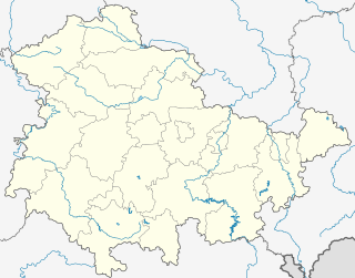
The Dienstedter karst cave , also called Oberfeldhöhlen Dienstedt , is a karst cave on the steep southern slope of the Schenkenkopfberg at 340 meters above sea level and 23 meters above the water level of the Ilm in the area of the town of Stadtilm near Dienstedt in the Ilm district , Thuringia . The 350 meter long cave was created two to five million years ago when the Ur-Ilm was washed away.
history
In 1953 the cave was discovered by the local historian and ground monument curator Felix Gebser after several unsuccessful excavations. From 1957 to 1982 the laborious excavation was carried out in cooperation with the Museum of Prehistory and Early History Weimar . The remains of a fireplace, fragments of clay pots, bone tools, animal bones and well-preserved mugs made from clay were found.
After the excavations were completed, the cave was opened as a show cave in 1994 . Visitors wearing helmets can enter the cave over a length of 155 meters.
description
In the cave you can see impressive forms of erosion. The originally very beautiful lye profiles, however, were partially destroyed during the improper development work. Visiting the cave is only possible by appointment and not during the winter months.
See also
Web links
- Show caves in Germany
- Dienstedter Karst Cave ( Memento from August 28, 2011 in the Internet Archive )

