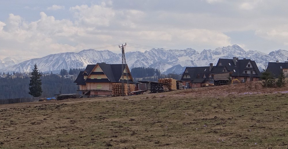
Dzianisz
| Dzianisz | ||
|---|---|---|
 Help on coat of arms |
|
|
| Basic data | ||
| State : | Poland | |
| Voivodeship : | Lesser Poland | |
| Powiat : | Tatrzański | |
| Gmina : | Kościelisko | |
| Geographic location : | 49 ° 20 ' N , 19 ° 52' E | |
| Residents : | 1800 | |
| Telephone code : | (+48) 18 | |
| License plate : | KTT | |
| Economy and Transport | ||
| Street : | Zakopianka | |
| Next international airport : | Krakow-Balice | |
| administration | ||
| Website : | www.gminakoscielisko.pl/pl/dla-mieszkanca/samorzad/solectwa/solectwo-dzianisz | |
Dzianisz is a village in the rural municipality of Kościelisko in the powiat Tatrzański in the Lesser Poland Voivodeship in southern Poland in the historical Podhale region . It is located west of Zakopianka Voivodeship Road . The village is located in the Pogórze Bukowińskie mountain range about five kilometers west of Poronin and about three kilometers north of Zakopane . It is a ski resort at the foot of the High Tatras with several smaller ski lifts. Dzianisz is located on the slopes of Palenica Kościeliska , Iwański Grzbiet , Gruszków Wierch , Tominów Wierch and Ostrysz . The Dzianiski Potok brook flows through the village .
Attractions
In the village there is a wooden church of St. Mary of Czestochowa in Zakopane style from the beginning of the 20th century and a statue of St. Barbara from 1772.
tourism
Things are quieter in Dzianisz than in the neighboring ski resorts of Zakopane or Kościelisko. The tourist infrastructure is nonetheless well developed.
gallery
Web links
Panoramas


