Freienfels (Hollfeld)
|
Freienfels
Hollfeld municipality
Coordinates: 49 ° 57 ′ 37 ″ N , 11 ° 15 ′ 17 ″ E
|
|
|---|---|
| Residents : | 270 (1987) |
| Incorporation : | January 1, 1972 |
| Postal code : | 96142 |
| Area code : | 09274 |
|
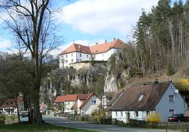
Freienfels, in the background the castle
|
|
Freienfels is a district of the town of Hollfeld in the Upper Franconian district of Bayreuth .
location
The place is located on the upper reaches of the Wiesent , about 25 km from Bamberg and Bayreuth .
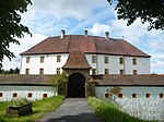
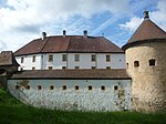
The townscape is dominated by Freienfels Castle , which was built by the Knights of Aufseß and first mentioned in 1388.
history
The name Freienfels indicates its special position: the castle stood on free land, on a free rock and was only subordinate to the emperor and the empire.
The palace complex was built between 1693 and 1701. In 1525 the aristocratic seat was destroyed in the Peasants' War.
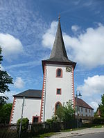
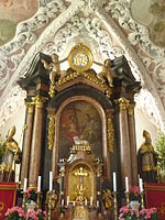
In the former palace chapel, now the Catholic parish church of St. Bartholomew, baroque stucco work with the Aufseß coat of arms and grave monuments decorated with coats of arms are worth seeing.
Until the regional reform , Freienfels was a separate municipality with the district Schafhof in the district of Ebermannstadt . On January 1, 1972, the community of Freienfels was incorporated into the newly formed large community of Hollfeld, which became part of the Bayreuth district on July 1, 1972.
Picture gallery
|
|

|
| Freienfels Castle | Freienfels Castle | Freienfels Castle |
|

|
|
| Castle chapel | Stucco ceiling | altar |
Web links
Individual evidence
- ^ Wilhelm Volkert (ed.): Handbook of Bavarian offices, communities and courts 1799–1980 . CH Beck, Munich 1983, ISBN 3-406-09669-7 , p. 451 .
