
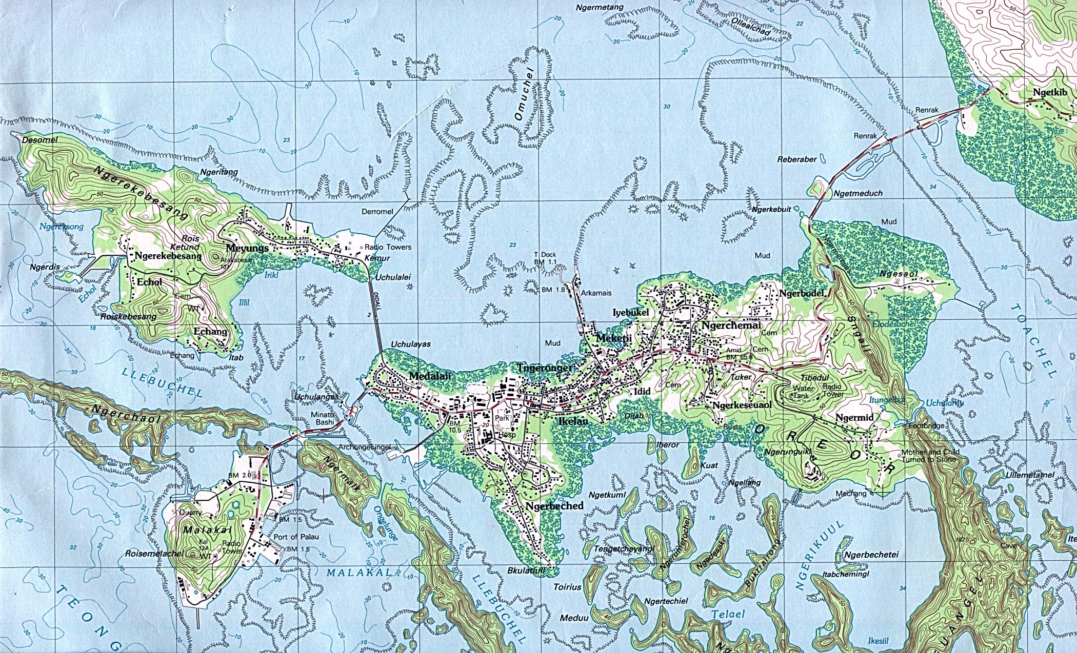
Koror (city)
| Koror | |||
|---|---|---|---|
|
|||
| Coordinates | 7 ° 20 '36 " N , 134 ° 28' 50" E | ||
| Symbols | |||
|
|||
| Basic data | |||
| Country | Palau | ||
| Koror | |||
| ISO 3166-2 | PW-150 | ||
| height | 10 m | ||
| surface | 65 km² | ||
| Residents | 12,676 (2005) | ||
| density | 195 Ew. / km² | ||


Koror was the capital of Palau until 2006 , the economic center of which it continues to be.
geography
The city is located on the island of the same name and in 2005 had around 12,600 inhabitants. Together with others on some nearby islands, it forms the state of Koror .
On October 7, 2006, the Palauian seat of government was moved from Koror to the new capital Ngerulmud on the neighboring island of Babelthuap . However, the city of Koror is still the seat of the Supreme Court, the financial authorities, the Belau National Museum , the college (Palau Community College) and the economic center of the country.
history
During the Spanish colonial period ( Spanish East Indies ) there was only a small fishing village here. It was not until the German colonial administration established an administrative station and began to expand the port.
When Japan was occupied in 1914, about 500 people lived on Koror Island. Under the Japanese, the city - it was the seat of the civil government of the Japanese South Sea Mandate - grew rapidly through targeted settlement, so that when the war broke out in 1941, Koror had around 38,000 inhabitants (only around 5,000 of them were local). Among other things, a weather station was set up and in 1927 a vocational and technical school.
The Japanese, who tried to militarily hold the city , which had been declared part of a military restricted area , during World War II and who had built extensive bunker and cave systems on offshore islands, were expelled after the war ended in 1945. However, since the US had its headquarters for the Northwest Pacific in Guam for a long time , there was no need for the Americans to further expand the city.
Palau High School has existed since 1946 .
Buildings
tourism
Koror is visited by cruise ships from time to time : Tourism is an important economic factor for the whole of Palau due to the good diving opportunities.
Research station
The US Coast and Geodetic Survey maintained a measuring station in Koror during the International Geophysical Year 1957-1958 . The magnetograms and hourly tide data obtained were published in Washington, DC in 1960 .
Sports
The Palau National Stadium with a capacity of 4,000 is located in Koror .
sons and daughters of the town
- Ibedul Gibbons (* around 1944), chief
- Sandra Pierantozzi (* 1953), politician
- Rodman Teltull (* 1994), track and field athlete
Web links
Individual evidence
- ↑ Mike Hollywood: Papa Mikeýs Palau Islands Handbook ( en ). iUniverse, January 12, 2006, ISBN 9780595820009 , p. 37.