
Leolaco
| Leolaco (Foho Leolaco, Leo-Laco, Foho Cailaco, Loelaco) | ||
|---|---|---|
 The Leolaco seen from the southeast. |
||
| height | 1929 m | |
| location | Border between the administrative offices of Cailaco and Maliana , Bobonaro municipality , East Timor | |
| Coordinates | 8 ° 57 '33 " S , 125 ° 16' 28" E | |
|
||

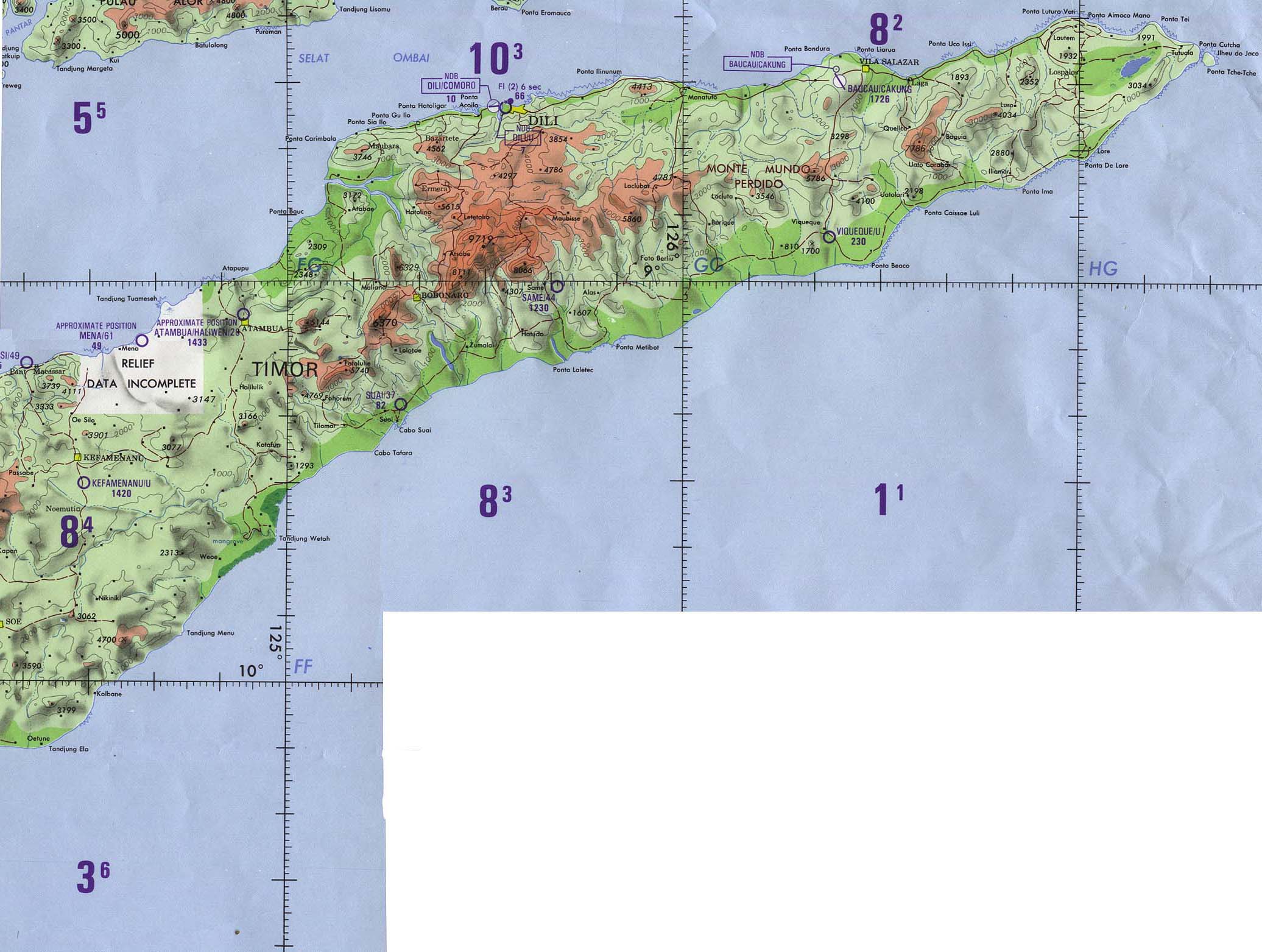
The East Timorese mountain Leolaco ( Foho Leolaco, Leo-Laco, Leolaku, sometimes Loelaco or Loelaku ) is located in the municipality of Bobonaro , east of the town of Maliana , on the border between the administrative offices of Cailaco and Maliana . With a height of 1929 m , it dominates the landscape as the highest mountain in the region, which is why it is also sometimes called Foho Cailaco .
geography

It rises as a north-south elongated steep wall over a length of almost seven kilometers from the plain, whereby the formation is rarely more than a kilometer wide. There are three smaller villages in front of the southern tip of the wall: Nunutana ( Suco Raifun ) at an altitude of 645 m and Maganutu and Lonbia (Suco Ritabou ) at 795 m and 645 m . Up to the border between the administrative offices of Maliana and Cailaco, one of its peaks reaches 1825 m . From here on, the steep face forms the eastern border of the Sucos Manapas . To the west it borders the sucos Raiheu , Atudara and finally Goulolo to the north . At the highest peak of Leolaco, the borders of the sucos Raiheu, Manapa and Atudara meet. The villages of Haareme ( 768 m ), Daru Asa ( 678 m ) and Ohoana ( 599 m ) in Suco Raiheu and Tuturema ( 918 m ) and Atubuti ( 681 m ) in Suco Atudara are about two kilometers east of the steep face .
history

In 1719 several Timorese rulers ( Liurai ) agreed an alliance against the Portuguese; the beginning of the Cailaco rebellion . Cailaco became the rebel headquarters. At that time, 40,000 people lived relatively isolated in the Marobo Valley with the Marobo and Lóis rivers . In 1726 the Portuguese governor António Moniz de Macedo dispatched troops from Dili and Batugade against the Pedras de Cailaco ( Cailaco rocks). The steep walls of the Leolaco offered the empire of Cailaco a natural fortress and were considered impregnable. On October 23, the Portuguese gathered a total of 4,000 men at the foot of the mountain, including Topasse and allied Timorese. After 40 days, however, they had to give up the siege in December, also because of heavy rain.
Even at the beginning of the Indonesian occupation , the mountain served as a base for the East Timorese resistance .
gallery

View of the steep, knife-like northern slope at an altitude of about 1300 m

The north slope at about 1300 m altitude

A group of cattle grazes at an altitude of 1200 m

View to the southwest on a slope at an altitude of about 1100 m

South view of a village at the foot of the mountain at an altitude of about 950 m

View to the southwest on a slope at an altitude of about 1100 m

A Eucalyptus urophylla on the western slope at about 1100 m altitude

A grove of Eucalyptus urophylla on the western slope at an altitude of about 1100 m
.jpg)
.jpg)

.jpg)
.jpg)
.jpg)
.jpg)
.jpg)
See also
Web links
Individual evidence
- ^ Map from 1989
- ↑ History of Timor - Technical University of Lisbon ( Memento of the original from March 24, 2009 in the Internet Archive ) Info: The archive link was automatically inserted and has not yet been checked. Please check the original and archive link according to the instructions and then remove this notice. (PDF; 824 kB)
- ↑ Perfil Distritu Bobonaro 2013, page 4
The administrative borders within East Timor changed in 2015. This article must therefore be checked and updated if necessary. See New Administrative Boundaries .