
Mabudis Island
| Mabudis Island | ||
|---|---|---|
| Waters | Strait of Luzon ( Philippine Sea ) | |
| Archipelago | Batan Islands | |
| Geographical location | 20 ° 56 ' N , 121 ° 55' E | |
|
||
| surface | 1.1 km² | |
| Residents | uninhabited | |

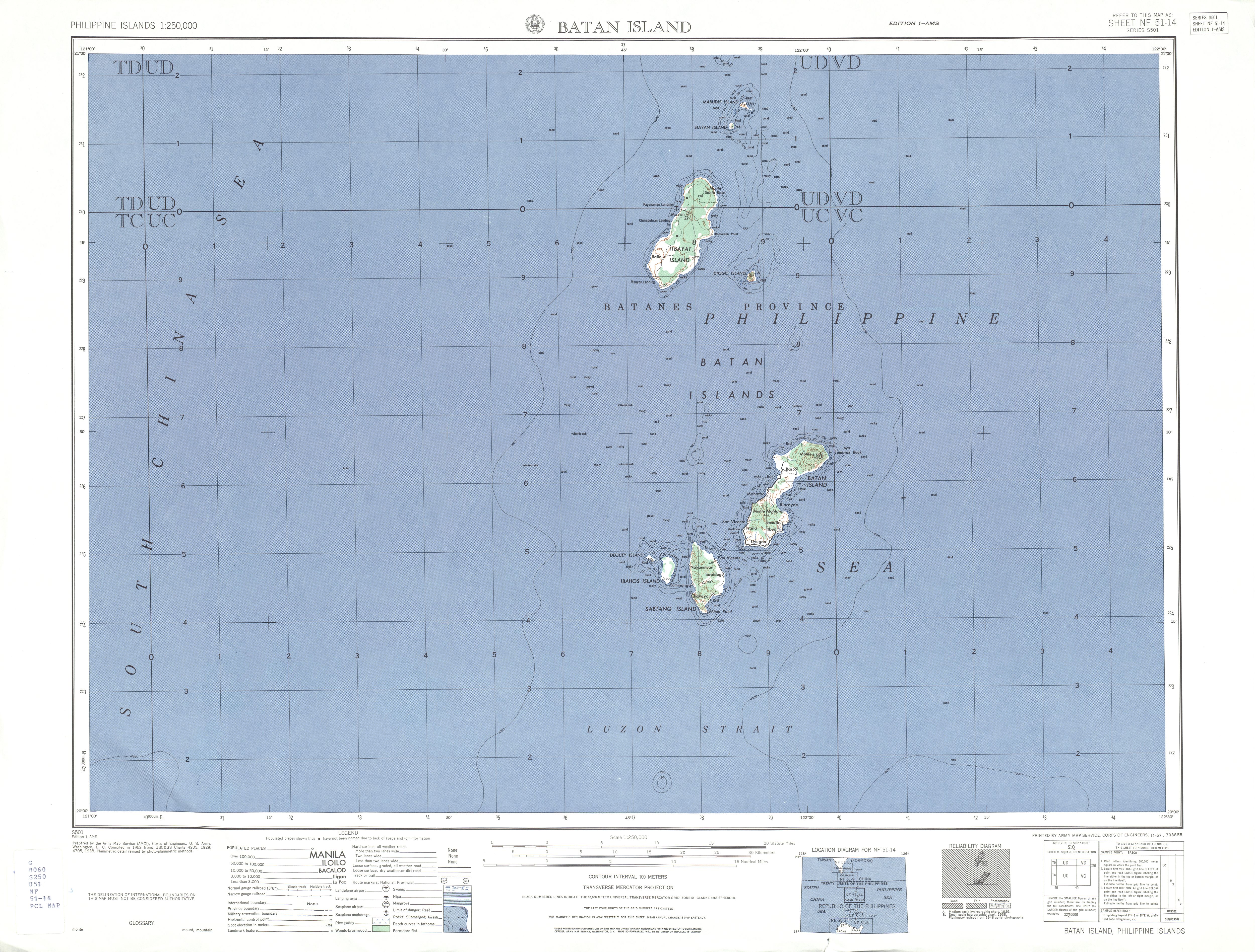
Mabudis Island is an island in Batanes Province in the Philippines . It belongs to the Batan Islands and is located about 300 km off the north coast of the island of Luzon , in the Luzon Strait . The island has an area of about 1.1 km² and belongs to the Baranggay Santa Maria (Marapuy) of the municipality of Itbayat .
Mabudis Island is uninhabited and has a wedge-shaped shape with a length of about 2.1 km and a width of about 0.8 km in northwest orientation. It is a now extinct volcano that rises about 230 meters above sea level. The island's coastline is formed by an alternation of steep rock cliffs and white sandy beaches. The island's vegetation consists of dense tropical vegetation and is inhabited by palm thieves , ants and birds. In the north-west of the island there are larger coral reefs .
Siayan Island is about 4 km to the south , Itbayat Island is 8 km (north coast), to the southeast is Diogo Island about 36 km and Batan Island about 79 km from the island. The northernmost island of the Philippines Y'Ami Island is 30 km away.