
Y'Ami Island
| Y'Ami | ||
|---|---|---|
 |
||
| Waters | Strait of Luzon ( Philippine Sea ) | |
| Archipelago | Batan Islands | |
| Geographical location | 21 ° 7 ′ 0 ″ N , 121 ° 57 ′ 0 ″ E | |
|
||
| length | 2.2 km | |
| width | 1 km | |
| surface | 1.2 km² | |
| Highest elevation | Y'Ami Hill 219 m |
|
| Residents | uninhabited | |
 |
||

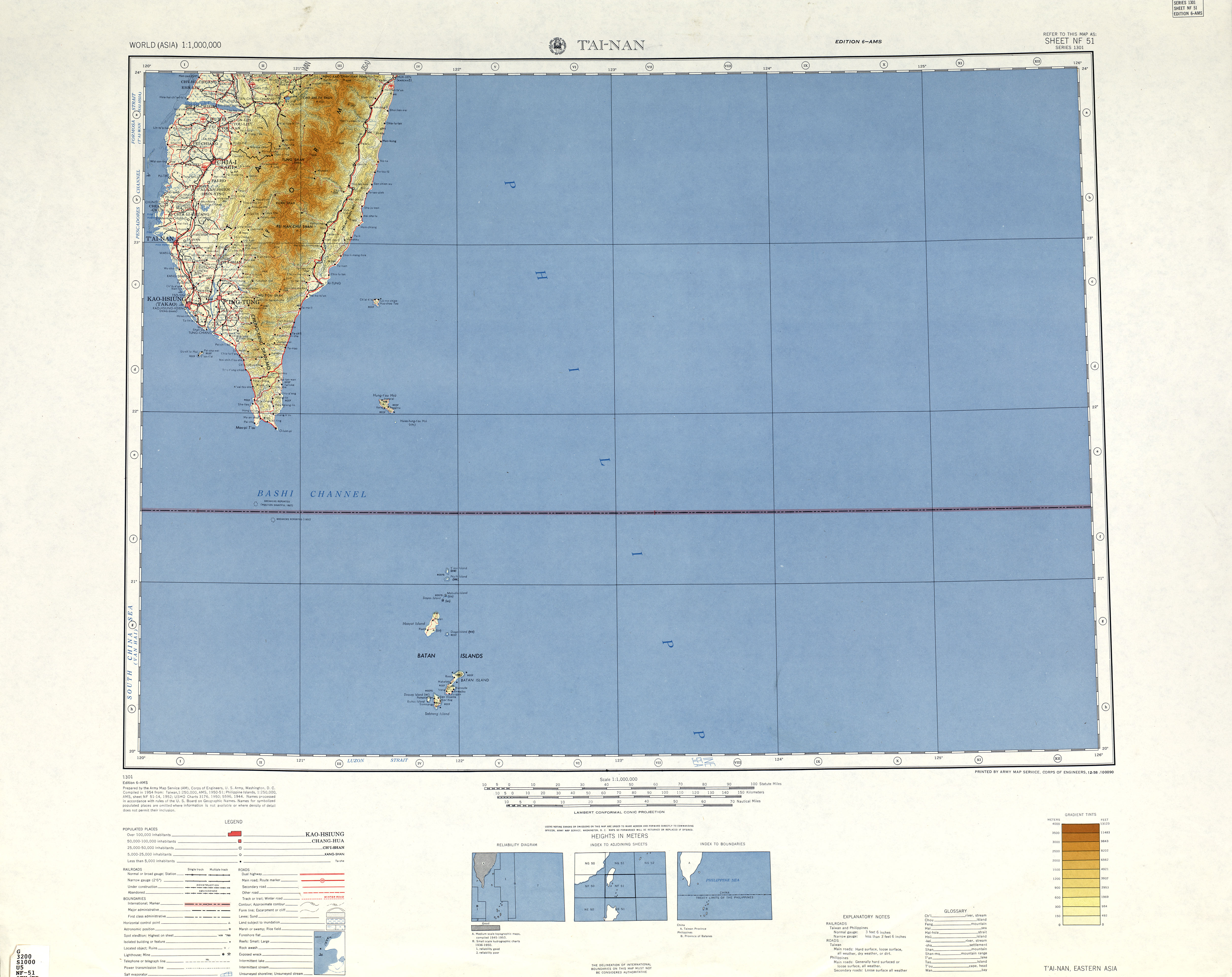
Y'Ami (or Yami ) Island or Amianan Island , also known as Mavudis Island in some sources , is the northernmost island of the Batan Islands and thus represents the northernmost point of the Philippines . Politically, like the entire archipelago, it belongs to the Filipino province of Batanes . It belongs to the Baranggay Santa Maria (Marapuy) of the municipality of Itbayat .
Surname
It can be found under the name Yami (or Y'Ami ) in most maps of the Philippines . On the official Batanes website it is listed under the name Mavudis . Mavudis (or Mavodis) comes from the Ivatan language , an indigenous group of people in this region, and means "low". The fact that Mavudis is also a variant of the name of Mabudis Island 19 km south of Y'Ami can lead to confusion. In addition, the name Dihami used by older locals , which means “north” in the Ivatan language, is also common for the island , while it was known under the name of Diamiv in the former Spanish colonial administration . In various sources it is also listed under the name Amianan Island .
The name Yami should not be confused with the indigenous Taiwanese ethnic group of the Yami, who live on some islands further north above the Philippine territory, but are geographically, culturally and linguistically connected to the Ivatan.
geography
The island is 141 km southeast of the southern tip of Taiwan's main island and 98 km to the nearest Taiwanese island, the "Little Orchid Island" . In contrast, the distance to the Philippine main island of Luzon is 288 km. The island is rocky on the coast, but covered in lush vegetation inside. According to the Batanes official website, the island is uninhabited. Coconut crabs , known regionally as tatus , can be found here in large numbers.
The island is 2.2 km long and up to one kilometer wide. In Y'Ami Hill it reaches a height of 219 meters.