Paratunka
| Village
Paratunka
Паратунка
|
||||||||||||||||||||||||||
|
||||||||||||||||||||||||||
|
||||||||||||||||||||||||||
Paratunka ( Russian Паратунка ) is a village (selo) in the Kamchatka region ( Russia ) with 1619 inhabitants (as of October 14, 2010).
geography
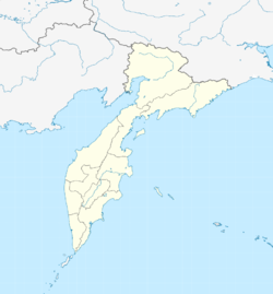
Paratunka is located about 30 kilometers as the crow flies west of the Petropavlovsk-Kamchatsky regional administrative center , on the other side of Avacha Bay .
Web links
- Official website of the local government (Russian)
Individual evidence
- ↑ a b Itogi VPN-2010. Administrativno-territorialʹnoe delenie kraja. (Results of the 2010 census. Administrative-territorial division of the region.) Table 2 (Download from the website of the Territorial Organ of the Kamchatka Region of the Federal Service of State Statistics of the Russian Federation)


