Strunderthal height
|
Strunderthal height
City of Bergisch Gladbach
Coordinates: 50 ° 59 ′ 33 " N , 7 ° 8 ′ 42" E
|
||
|---|---|---|
|
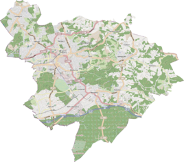
Location of Strunderthalshöhe in Bergisch Gladbach |
||
Strunderthalshöhe was an excursion restaurant and a district in the area of what is now the city center of the city of Bergisch Gladbach in the Rheinisch-Bergisches Kreis .
Location and description
Strunderthalshöhe was at the eastern exit of Bergisch Gladbach on the road towards Herrenstrunden at the height of today's Sonnenweg .
history
In 1885 the place is registered as a place of residence of the mayor's office in Gladbach in the Mülheim am Rhein district with seven houses and 47 inhabitants as part of the parish of Gladbach.
The place is regularly recorded as Strunderthalshöhe on the Prussian New Record from 1892 and on the measurement table until the 1940s . After that it is no longer recorded on maps.
Individual evidence
- ↑ Königliches Statistisches Bureau (Prussia) (Ed.): Community encyclopedia for the Rhineland Province, based on the materials of the census of December 1, 1885 and other official sources, (Community encyclopedia for the Kingdom of Prussia, Volume XII), Berlin 1888.
