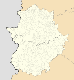
Entrín Bajo
Entrín Bajo | |
|---|---|
municipality | |
| Coordinates: 38°43′8″N 6°42′48″W / 38.71889°N 6.71333°W | |
| Country | Spain |
| Autonomous community | Extremadura |
| Province | Badajoz |
| Municipality | Entrín Bajo |
| Area | |
| • Total | 10 km2 (4 sq mi) |
| Elevation | 244 m (801 ft) |
| Population (2005) | |
| • Total | 605 |
| • Density | 60.5/km2 (157/sq mi) |
| Time zone | UTC+1 (CET) |
| • Summer (DST) | UTC+2 (CEST) |
Entrín Bajo is a municipality located in the province of Badajoz, Extremadura, Spain. According to the 2005 census (INE), the municipality has a population of 605 inhabitants.
38°43′N 6°43′W / 38.717°N 6.717°W


