Garbayuela: Difference between revisions
Content deleted Content added
GreenC bot (talk | contribs) Add {{Spain metadata Wikidata}} (via popbot) |
m →top: add authority control |
||
| Line 43: | Line 43: | ||
{{coord|39|03|N|4|59|W|display=title|region:ES_type:city_source:GNS-enwiki}} |
{{coord|39|03|N|4|59|W|display=title|region:ES_type:city_source:GNS-enwiki}} |
||
{{authority control}} |
|||
[[Category:Municipalities in the Province of Badajoz]] |
[[Category:Municipalities in the Province of Badajoz]] |
||
Revision as of 18:33, 12 January 2020
Garbayuela | |
|---|---|
| Coordinates: 39°2′56″N 5°00′2″W / 39.04889°N 5.00056°W | |
| Country | Spain |
| Autonomous community | Extremadura |
| Province | Badajoz |
| Municipality | Garbayuela |
| Area | |
| • Total | 84 km2 (32 sq mi) |
| Elevation | 487 m (1,598 ft) |
| Population (2018)[1] | |
| • Total | 522 |
| • Density | 6.2/km2 (16/sq mi) |
| Time zone | UTC+1 (CET) |
| • Summer (DST) | UTC+2 (CEST) |
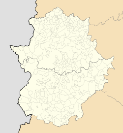
Garbayuela (Spanish pronunciation: [ɡaɾ.βaˈʝwe.la]) is a municipality located in the province of Badajoz, Extremadura, Spain. According to the 2006 census (INE), the municipality had a population of 531.
39°03′N 4°59′W / 39.050°N 4.983°W
- ^ Municipal Register of Spain 2018. National Statistics Institute.

