Albersdorf (Berga)
|
Albersdorf
City of Berga / Elster
Coordinates: 50 ° 45 ′ 45 ″ N , 12 ° 9 ′ 41 ″ E
|
||
|---|---|---|
| Height : | 337 m above sea level NN | |
| Residents : | 150 | |
| Incorporation : | July 1, 1958 | |
| Postal code : | 07980 | |
| Area code : | 036623 | |
|
Location of Albersdorf in Thuringia |
||
|
The legendary Kreuzstein on the outskirts to the castle ruins of Schloss Berga
|
||
Albersdorf is a district of Berga / Elster in the Greiz district in Thuringia .
geography
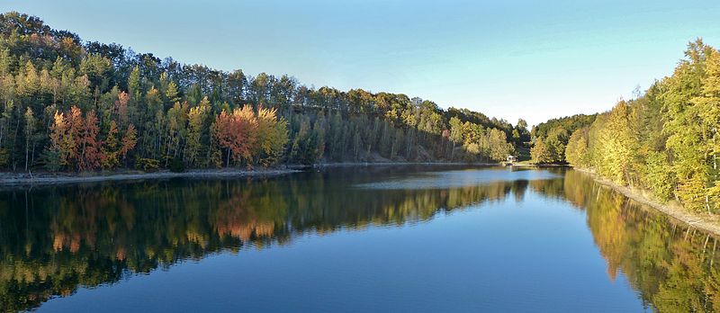
Albersdorf is located in the northeast of the Thuringian Slate Mountains above the White Elster Valley. The village, which has 150 residents, can be reached via Landesstraße 2336 and Bundesstraße 175 . The corridor of the district is mostly on a cropped plateau. To the west of the village is the Albersdorf dam.
Albersdorf dam lake
history
The district was first mentioned in a document on April 18, 1373.
The Albersdorf holiday park , also known as the Berga leisure park , was built on the reservoir ; a natural pool with around 50 bungalows.
Web links
Commons : Albersdorf - Collection of pictures, videos and audio files
Individual evidence
- ^ Wolfgang Kahl : First mention of Thuringian towns and villages. A manual. Rockstuhl Verlag, Bad Langensalza, 2010, ISBN 978-3-86777-202-0 , p. 14
- ↑ Berga amusement park. In: Thuringia-discover.de. Retrieved May 27, 2017 .


