Arsenal (Mauritius)
Coordinates: 20 ° 6 ′ S , 57 ° 32 ′ E
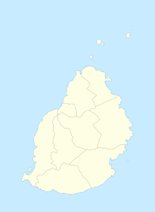
Arsenal is a place ("Village") in the north of Mauritius . It is part of the Pamplemousses district and administratively belongs to the Village Council Area (VCA) Arsenal. At the 2011 census, the place had 2937 inhabitants. The place is on the Tombeau River . It includes the districts of Balaclava, Ville Valio, Rivière Citron, St. Joseph and Petit Gamin.
The name Arsenal can be traced back to an iron foundry Mon Désir founded in 1774. A peak of 760 workers produced parts for cannons and other military goods. Before that, there was a powder mill on site. An explosion in 1774 destroyed this factory, killing 300 slaves.
A large supermarket was opened in 2006 on the site of the former Riche Terre plantation on the M2 motorway .
The coastal section of the municipality is particularly important for tourism. On the beach of the Baie aux Tortues there is a hotel of the Maritim Hotelgesellschaft and the Westin Turtle Bay Resort. Part of the coast is designated as the Baie de l'Arsenal Marine National Park as a nature reserve.
literature
- Benjamin Moutou: Pamplemousses - Rivière du Rempart - Quatre siècles d'histoire. 2006, ISBN 978-99903-992-9-5 , pp. 279-282.
Web links
Individual evidence
- ↑ Statistics Mauritius: Housing and population census 2011 , Volume II: Demographic and fertility characteristics , p. 71, statsmauritius.govmu.org (PDF)
