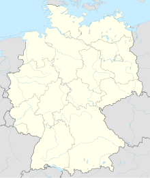
Auwald (unregulated area)
Coordinates: 48 ° 15 ′ 31 ″ N , 10 ° 4 ′ 8 ″ E
The alluvial forest is a 4.96 km² community-free area in the Neu-Ulm district in Bavarian Swabia . The area is uninhabited.
geography
location
The alluvial forest is located immediately east of the Bavarian border with Baden-Württemberg at an altitude of 498 to 514 m above sea level. NN . It stretches west and east of the Iller from river kilometers 15.3 to 23, thus over 7.7 kilometers. With an area of 4.96 km², this results in an average width of 644 meters. The Illerkanal joins from the right at river kilometer 17.6 .
Neighboring communities
| Community Illerrieden |
City of Voehringen |
Community Bellenberg |
| Community Teodone |

|
City of Illertissen |
| community Balzheim |
Community Old city |
use
Part of the area is designated as a water protection area.
See also

Alluvial forest near Au in spring
Web links
Commons : Auwald - collection of images, videos and audio files
- Location of the community-free area in OpenStreetMap (accessed on November 27, 2017)


